| Harrogate South Australia | |
|---|---|
 Main street of Harrogate | |
 Harrogate | |
| Coordinates | 34°57′0″S 139°01′0″E / 34.95000°S 139.01667°E |
| Population | 431 (SAL 2021)[1] |
| Established | 1858 |
| Postcode(s) | 5244 |
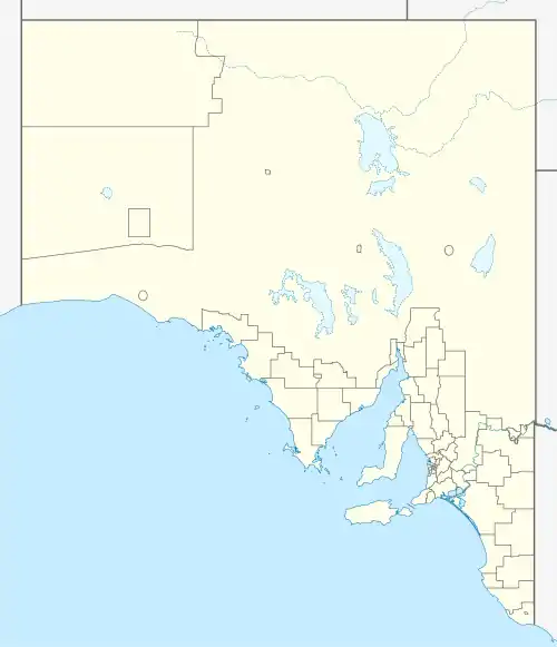
| Location | |
| LGA(s) | District Council of Mount Barker |
| Region | Adelaide Hills |
| State electorate(s) | Kavel |
| Federal division(s) | Mayo |
Harrogate is a small South Australian town, located in the Adelaide Hills on the banks of the Bremer River. It was laid out by Charles Burney Young in 1858,[2] and is believed to be named after Harrogate, North Yorkshire, in England by John Baker. The town has a number of historic buildings, dating back to the mid-19th century, including a former Bible Christian chapel (c. 1859), and a village hall (now a community hall). A post office also operated in the town between the years 1861 to 1974.
Harrogate is approximately 56 km from Adelaide.
References
- ↑ Australian Bureau of Statistics (28 June 2022). "Harrogate (suburb and locality)". Australian Census 2021 QuickStats. Retrieved 28 June 2022.
- ↑ "Out Among the People". The Advertiser. Adelaide. 25 May 1953. p. 4. Retrieved 16 November 2014 – via National Library of Australia.
External links
This article is issued from Wikipedia. The text is licensed under Creative Commons - Attribution - Sharealike. Additional terms may apply for the media files.