Hensies
| |
|---|---|
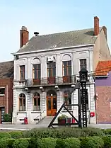 Hensies town hall | |
 Flag  Coat of arms | |
Location of Hensies | |
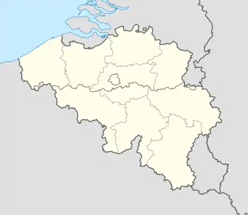 Hensies Location in Belgium
Location of Hensies in Hainaut 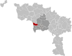 | |
| Coordinates: 50°26′N 03°40′E / 50.433°N 3.667°E | |
| Country | |
| Community | French Community |
| Region | Wallonia |
| Province | Hainaut |
| Arrondissement | Mons |
| Government | |
| • Mayor | Éric Thiébaut (PS) (Équipe du Bourgmestre) |
| • Governing party/ies | Équipe du Bourgmestre (PS + cdH) |
| Area | |
| • Total | 26.41 km2 (10.20 sq mi) |
| Population (2018-01-01)[1] | |
| • Total | 6,828 |
| • Density | 260/km2 (670/sq mi) |
| Postal codes | 7350 |
| NIS code | 53039 |
| Area codes | 065 |
| Website | www.hensies.be |
Hensies (French pronunciation: [ɑ̃zi]; Picard: Hinzi; Walloon: Inzî) is a municipality of Wallonia located in the province of Hainaut, Belgium.
It has 6,857 inhabitants, as of January 1, 2017. The total area is 25.99 km2, giving a population density of 258 inhabitants per km2.
The municipality consists of the following districts: Hainin, Hensies, Montrœul-sur-Haine, and Thulin.

Hensies: the Pommeroeul-Condé canal at sunset
References
- ↑ "Wettelijke Bevolking per gemeente op 1 januari 2018". Statbel. Retrieved 9 March 2019.
External links
 Media related to Hensies at Wikimedia Commons
Places adjacent to Hensies | ||||||||||||||||
|---|---|---|---|---|---|---|---|---|---|---|---|---|---|---|---|---|
| ||||||||||||||||
| Ath | 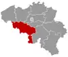 | |
|---|---|---|
| Charleroi | ||
| La Louvière | ||
| Mons | ||
| Soignies | ||
| Thuin | ||
| Tournai-Mouscron | ||
| ||
This article is issued from Wikipedia. The text is licensed under Creative Commons - Attribution - Sharealike. Additional terms may apply for the media files.