Herbignac
| |
|---|---|
Commune | |
 | |
.svg.png.webp) Coat of arms | |
Location of Herbignac | |
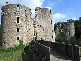
 Herbignac  Herbignac | |
| Coordinates: 47°26′59″N 2°18′58″W / 47.4497°N 2.3161°W | |
| Country | France |
| Region | Pays de la Loire |
| Department | Loire-Atlantique |
| Arrondissement | Saint-Nazaire |
| Canton | Guérande |
| Intercommunality | CA Presqu'île de Guérande Atlantique |
| Government | |
| • Mayor (2020–2026) | Christelle Chassé[1] |
| Area 1 | 71.43 km2 (27.58 sq mi) |
| Population | 7,133 |
| • Density | 100/km2 (260/sq mi) |
| Time zone | UTC+01:00 (CET) |
| • Summer (DST) | UTC+02:00 (CEST) |
| INSEE/Postal code | 44072 /44410 |
| Elevation | 0–55 m (0–180 ft) (avg. 15 m or 49 ft) |
| 1 French Land Register data, which excludes lakes, ponds, glaciers > 1 km2 (0.386 sq mi or 247 acres) and river estuaries. | |
Herbignac (French pronunciation: [ɛʁbiɲak] ⓘ; Gallo: Èrbinyac, Breton: Erbigneg) is a commune in the Loire-Atlantique department in western France.
Population
|
| |||||||||||||||||||||||||||||||||||||||||||||||||||||||||||||||||||||||||||||||||||||||||||||||||||||||||||||||
| Source: EHESS[3] and INSEE (1968-2017)[4] | ||||||||||||||||||||||||||||||||||||||||||||||||||||||||||||||||||||||||||||||||||||||||||||||||||||||||||||||||
See also
References
- ↑ "Répertoire national des élus: les maires" (in French). data.gouv.fr, Plateforme ouverte des données publiques françaises. 13 September 2022.
- ↑ "Populations légales 2021". The National Institute of Statistics and Economic Studies. 28 December 2023.
- ↑ Des villages de Cassini aux communes d'aujourd'hui: Commune data sheet Herbignac, EHESS (in French).
- ↑ Population en historique depuis 1968, INSEE
External links
- Official Web site (in French)
Wikimedia Commons has media related to Herbignac.
This article is issued from Wikipedia. The text is licensed under Creative Commons - Attribution - Sharealike. Additional terms may apply for the media files.