| Hjelledalstind | |
|---|---|
| Hjelledalstinden | |
 | |
| Highest point | |
| Elevation | 1,989 m (6,526 ft)[1][2] |
| Prominence | 695 m (2,280 ft)[2] |
| Coordinates | 61°21′59″N 8°04′43″E / 61.3665°N 8.0787°E[3] |
| Geography | |
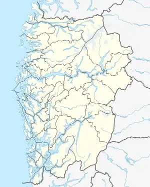 Hjelledalstind Location of the mountain 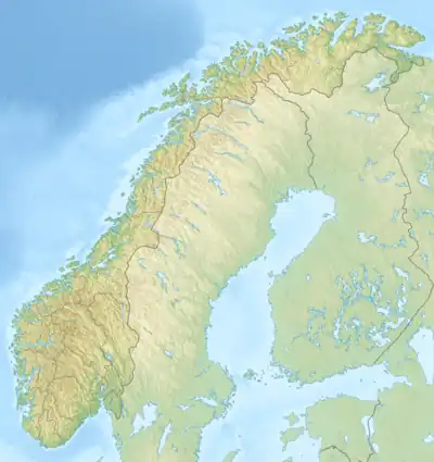 Hjelledalstind Hjelledalstind (Norway) | |
| Location | Årdal, Vestland, Norway |
| Parent range | Jotunheimen |
| Topo map | 1517 I Tyin |
| Climbing | |
| First ascent | 1884 Carl Hall, Mathias Soggemoen |
Hjelledalstind is a mountain in Årdal Municipality in Vestland county, Norway, in the Jotunheimen mountain range. It was first climbed in 1884 by Carl Hall and Mathias Soggemoen.[1]
References
- 1 2 Henriksen, Petter (ed.). "Hjelledalstind". Store norske leksikon (in Norwegian). Oslo: Kunnskapsforlaget. Retrieved 28 September 2011.
- 1 2 Røyne, Eivind (1985). Fjell i Norge over 1800 meter (in Norwegian). Oslo.
{{cite book}}: CS1 maint: location missing publisher (link) - ↑ "Hjelledalstinden, Årdal (Vestland)" (in Norwegian). yr.no. Retrieved 2020-01-19.
This article is issued from Wikipedia. The text is licensed under Creative Commons - Attribution - Sharealike. Additional terms may apply for the media files.