Hojancha | |
|---|---|
 Flag  Seal | |
Hojancha canton | |
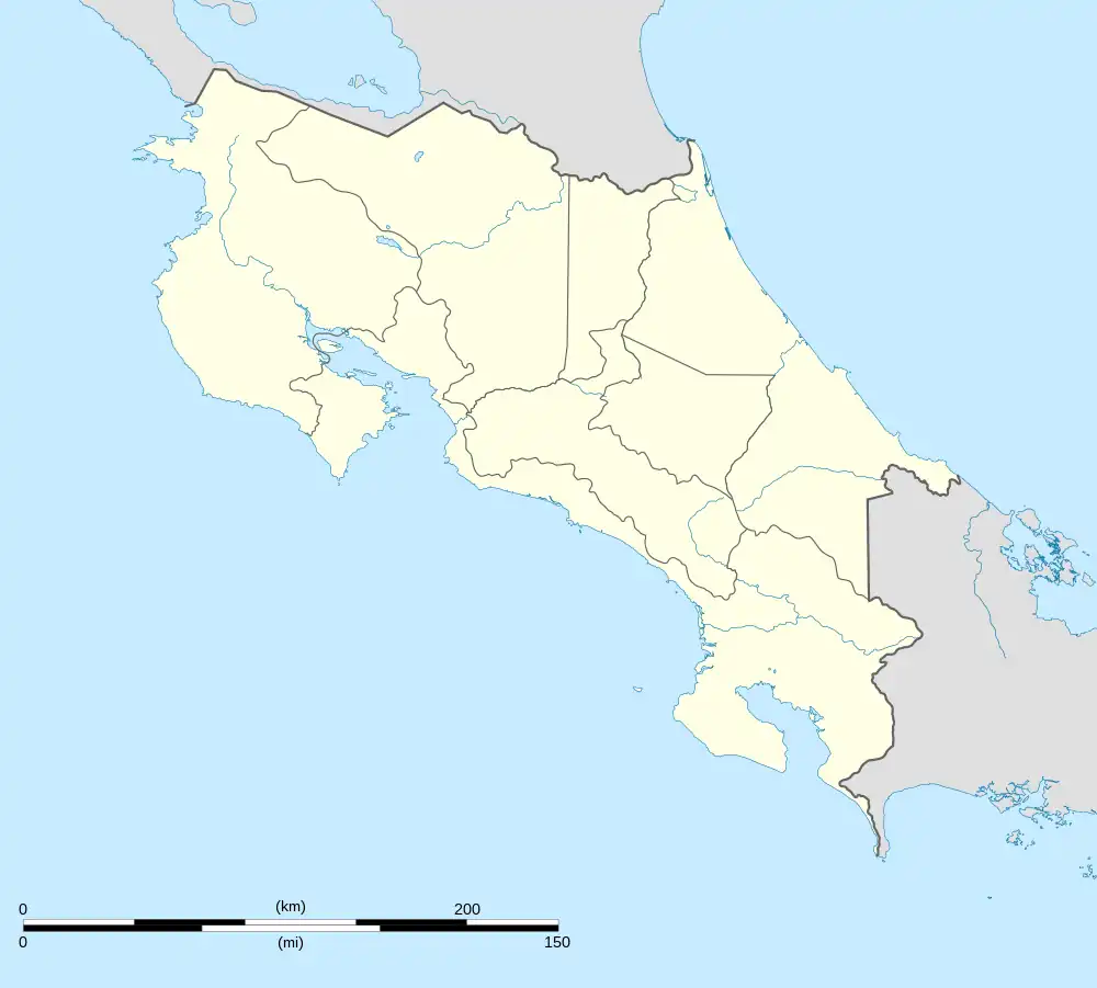  Hojancha Hojancha canton location in Costa Rica | |
| Coordinates: 9°58′31″N 85°24′34″W / 9.9752817°N 85.4095116°W | |
| Country |  Costa Rica Costa Rica |
| Province | Guanacaste |
| Creation | 2 November 1971[1] |
| Head city | Hojancha |
| Districts | |
| Government | |
| • Type | Municipality |
| • Body | Municipalidad de Hojancha |
| Area | |
| • Total | 261.42 km2 (100.93 sq mi) |
| Elevation | 389 m (1,276 ft) |
| Population (2011) | |
| • Total | 7,197 |
| • Density | 28/km2 (71/sq mi) |
| Time zone | UTC−06:00 |
| Canton code | 511 |
| Website | www |
Hojancha is a canton in the Guanacaste province of Costa Rica.[2][3] The head city is in Hojancha district.
History
Hojancha was created on 2 November 1971 by decree 4887.[1]
On 5 September 2012, a magnitude 7.6 earthquake struck 12 kilometers northeast of Hojancha, destroying houses in the canton.[4][5]
Geography
Hojancha has an area of 261.42 km²[6] and a mean elevation of 389 metres.[2]
The canton is in the midsection of the Nicoya Peninsula. It is relatively compact, with a slim area reaching south to encompass a small portion of the Pacific coastline from Carrillo Beach southward to the mouth of the Ora River.
Districts
The canton of Hojancha is subdivided into the following districts:
Demographics
| Historical population | |||
|---|---|---|---|
| Census | Pop. | %± | |
| 1973 | 7,899 | — | |
| 1984 | 5,879 | −25.6% | |
| 2000 | 6,534 | 11.1% | |
| 2011 | 7,197 | 10.1% | |
|
Instituto Nacional de Estadística y Censos[7] |
|||
For the 2011 census, Hojancha had a population of 7,197 inhabitants.[9]
Transportation
Road transportation
The canton is covered by the following road routes:


References
- 1 2 Hernández, Hermógenes (1985). Costa Rica: evolución territorial y principales censos de población 1502 - 1984 (in Spanish) (1 ed.). San José: Editorial Universidad Estatal a Distancia. pp. 164–173. ISBN 9977-64-243-5. Retrieved 5 October 2020.
- 1 2 "Declara oficial para efectos administrativos, la aprobación de la División Territorial Administrativa de la República N°41548-MGP". Sistema Costarricense de Información Jurídica (in Spanish). 19 March 2019. Retrieved 26 September 2020.
- ↑ División Territorial Administrativa de la República de Costa Rica (PDF) (in Spanish). Editorial Digital de la Imprenta Nacional. 8 March 2017. ISBN 978-9977-58-477-5.
- ↑ "M7.6 - 12km ENE of Hojancha, Costa Rica". United States Geological Survey. September 5, 2012. Retrieved October 3, 2012.
- ↑ Mata Blanco, Alonso (September 6, 2012). "Sismo Destruyó Viviendas en Varios Cantones de Guanacaste y Alajuela" [Earthquake Destroyed Homes in Several Cantons of Guanacaste and Alajuela]. La Nación (in Spanish). Retrieved October 3, 2012.
- ↑ "Área en kilómetros cuadrados, según provincia, cantón y distrito administrativo". Instituto Nacional de Estadística y Censos (in Spanish). Retrieved 26 September 2020.
- ↑ "Instituto Nacional de Estadística y Censos" (in Spanish).
- ↑ "Sistema de Consulta de a Bases de Datos Estadísticas". Centro Centroamericano de Población (in Spanish).
- ↑ "Censo. 2011. Población total por zona y sexo, según provincia, cantón y distrito". Instituto Nacional de Estadística y Censos (in Spanish). Retrieved 26 September 2020.