| Holverston | |
|---|---|
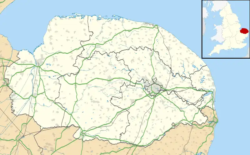 Holverston Location within Norfolk | |
| Area | 1.44 km2 (0.56 sq mi) |
| Population | 29 |
| • Density | 20/km2 (52/sq mi) |
| OS grid reference | TG302026 |
| Civil parish |
|
| District | |
| Shire county | |
| Region | |
| Country | England |
| Sovereign state | United Kingdom |
| Post town | NORWICH |
| Postcode district | NR14 |
| Police | Norfolk |
| Fire | Norfolk |
| Ambulance | East of England |
Holverston is a civil parish in the county of Norfolk, England ¾ mile (1¼ km) southeast of Rockland St. Mary. It includes the 16th century[1] Holverston Hall (reached from the A146 between Framingham Pigot and Thurton) and associated barn conversions reached by road from Hellington to the east. In the 2001 census it contained 9 households and a population of 29.[2] All traces of the thatched, round towered[3] church (St. Mary) had disappeared by 1845.[4]
External links
References
- ↑ Holverston-Hall - Norfolk Heritage Explorer Retrieved 2018-03-05.
- ↑ Holverston parish information [South Norfolk Council]. Archived 28 September 2007 at the Wayback Machine
- ↑ mnf10331 - Norfolk Heritage Explorer Retrieved 2018-03-05.
- ↑ GENUKI: Norfolk: Genealogy: Towns and Parishes: Holverston: White's 1845
This article is issued from Wikipedia. The text is licensed under Creative Commons - Attribution - Sharealike. Additional terms may apply for the media files.