 Home Island | |
| Geography | |
|---|---|
| Coordinates | 60°10′N 64°16′W / 60.167°N 64.267°W |
| Area | 12 km2 (4.6 sq mi) |
| Highest elevation | 151 m (495 ft) |
| Administration | |
Canada | |
| Province | Newfoundland and Labrador |
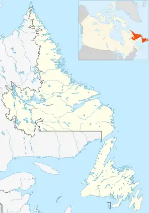
Home Island is an island off of the east coast of Labrador.[1]
References
This article is issued from Wikipedia. The text is licensed under Creative Commons - Attribution - Sharealike. Additional terms may apply for the media files.