Hoosier, Indiana | |
|---|---|
 Hoosier  Hoosier | |
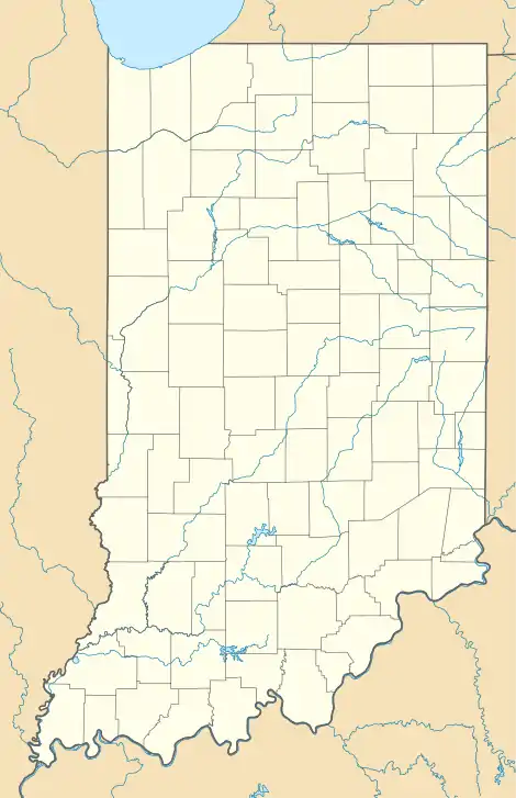
| Coordinates: 39°04′00″N 87°11′09″W / 39.06667°N 87.18583°W | |
| Country | United States |
| State | Indiana |
| County | Greene |
| Township | Stockton |
| Elevation | 623 ft (190 m) |
| ZIP code | 47441 |
| FIPS code | 18-34618[1] |
| GNIS feature ID | 436413[2] |
Hoosier is an unincorporated community in Stockton Township, Greene County, Indiana.
The community took the name of a local mine.[3]
Geography
Hoosier is located at 39°04′00″N 87°11′09″W / 39.06667°N 87.18583°W.
References
- ↑ "U.S. Census website". United States Census Bureau. Retrieved January 31, 2008.
- ↑ "Hoosier, Indiana". Geographic Names Information System. United States Geological Survey, United States Department of the Interior. Retrieved October 17, 2009.
- ↑ Baker, Ronald L. (October 1995). From Needmore to Prosperity: Hoosier Place Names in Folklore and History. Indiana University Press. p. 171. ISBN 978-0-253-32866-3.
This village was named for the nearby Hoosier coal mine.
Municipalities and communities of Greene County, Indiana, United States | ||
|---|---|---|
| Cities | Map of Indiana highlighting Greene County | |
| Towns | ||
| Townships | ||
| CDPs | ||
| Other communities |
| |
| Footnotes | ‡This populated place also has portions in an adjacent county or counties | |
This article is issued from Wikipedia. The text is licensed under Creative Commons - Attribution - Sharealike. Additional terms may apply for the media files.