| Horse Range | |
|---|---|
| Highest point | |
| Elevation | 610 m (2,000 ft) |
| Geography | |
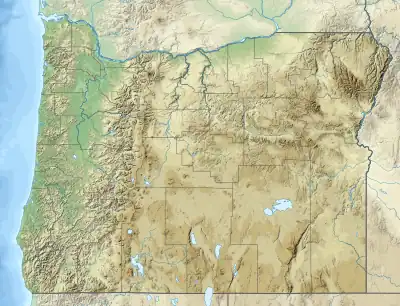
| Country | United States |
| State | Oregon |
| District | Josephine County |
| Range coordinates | 42°39′36.407″N 123°41′34.271″W / 42.66011306°N 123.69285306°W |
| Topo map | USGS Bunker Creek |
The Horse Range is a mountain range in Josephine County, Oregon, United States.[1]
References
This article is issued from Wikipedia. The text is licensed under Creative Commons - Attribution - Sharealike. Additional terms may apply for the media files.