Hostivař | |
|---|---|
 | |
 Hostivař | |
| Coordinates: 50°2′56.04″N 14°31′27.84″E / 50.0489000°N 14.5244000°E | |
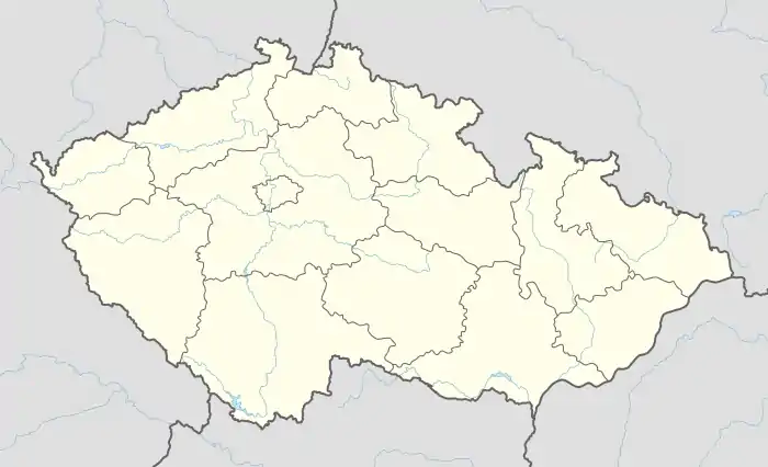
| Country | |
| Administrative district | Prague 10 |
| Municipal part | Prague 15 |
| Population (2011) | |
| • Total | 18,303[1] |
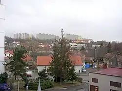
Hostivař (German: Hostiwar) is a cadastral area in southern Prague.
References
- ↑ "Historický lexikon obcí České republiky - 1869 - 2011". Historický lexikon obcí České republiky - 1869 - 2011 (in Czech). Retrieved 2022-05-03.
External links
 Media related to Hostivař at Wikimedia Commons
This article is issued from Wikipedia. The text is licensed under Creative Commons - Attribution - Sharealike. Additional terms may apply for the media files.