Hottwil | |
|---|---|
 | |
 Coat of arms | |
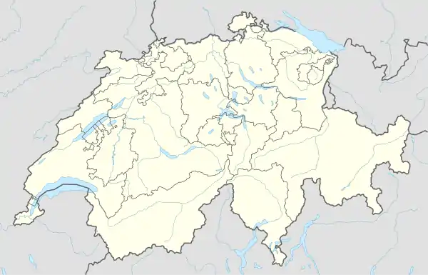
Location of Hottwil | |
 Hottwil 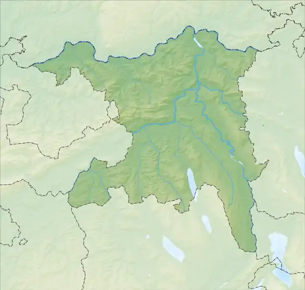 Hottwil | |
| Coordinates: 47°33′N 8°10′E / 47.550°N 8.167°E | |
| Country | Switzerland |
| Canton | Aargau |
| District | Brugg |
| Area | |
| • Total | 4.16 km2 (1.61 sq mi) |
| Elevation | 415 m (1,362 ft) |
| Population (December 2006) | |
| • Total | 262 |
| • Density | 63/km2 (160/sq mi) |
| Time zone | UTC+01:00 (Central European Time) |
| • Summer (DST) | UTC+02:00 (Central European Summer Time) |
| Postal code(s) | 5277 |
| SFOS number | 4101 |
| Surrounded by | Gansingen, Mandach, Remigen, Villigen, Wil |
| Website | www SFSO statistics |
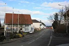
Hottwil was a municipality in the district of Brugg in canton of Aargau in Switzerland. On 1 January 2010 the municipalities of Hottwil, Etzgen, Mettau, Oberhofen and Wil merged to form the new municipality of Mettauertal.[1] This resulted in Hottwil transferring from the Brugg to the Laufenburg district.
References
- ↑ Amtliches Gemeindeverzeichnis der Schweiz, Mutationsmeldungen 2009 / Répertoire officiel des communes de Suisse, Mutations 2009 / Elenco ufficiale dei Comuni della Svizzera, Mutazione 2009 (PDF) (Report). Federal Statistical Office. 2009. 3170. Archived from the original (PDF) on 18 November 2010. Retrieved 6 March 2010.
External links
- Hottwil in German, French and Italian in the online Historical Dictionary of Switzerland.
This article is issued from Wikipedia. The text is licensed under Creative Commons - Attribution - Sharealike. Additional terms may apply for the media files.