| Hoxa | |
|---|---|
 The site of The Howe of Hoxa (good) broch (at left) | |
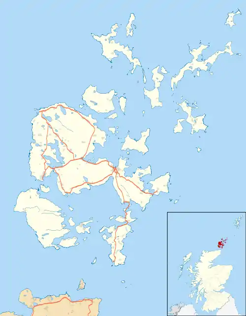 Hoxa Location within Orkney | |
| OS grid reference | HY423935 |
| Civil parish | |
| Council area | |
| Lieutenancy area | |
| Country | Scotland |
| Sovereign state | United Kingdom |
| Post town | ORKNEY |
| Postcode district | KW17 |
| Dialling code | 01856 |
| Police | Scotland |
| Fire | Scottish |
| Ambulance | Scottish |
| UK Parliament | |
| Scottish Parliament | |
Hoxa is a small settlement on the island of South Ronaldsay in the Orkney Islands north of mainland Scotland. Hoxa is located 1+1⁄4 miles (2.0 km) west of St Margaret's Hope[1] at the end of the B9043 road.[2]
Thorfinn Turf-Einarsson the 10th century Norse Earl of Orkney (aka Thorfinn Skullsplitter) may be buried at the site of The Howe broch just north of Hoxa.[3]
References
- ↑ "Hoxa". Gazetteer of Scotland. Retrieved 7 January 2014.
- ↑ Ordnance Survey. OS Maps Online (Map). 1:25,000. Leisure.
- ↑ Wenham, Sheena "The South Isles" in Omand, Donald (ed.) (2003) The Orkney Book. Edinburgh. Birlinn. ISBN 1-84158-254-9 pp. 211-12
External links
- The Megalithic Portal - Howe of Hoxa
- Canmore - Hoxa Head Balfour Battery site record
- Northern Lighthouse Board
Wikimedia Commons has media related to Hoxa, Orkney Islands.
This article is issued from Wikipedia. The text is licensed under Creative Commons - Attribution - Sharealike. Additional terms may apply for the media files.