| Hucclecote | |
|---|---|
_-_geograph.org.uk_-_1946325.jpg.webp) Churchdown Hill Trig Point | |
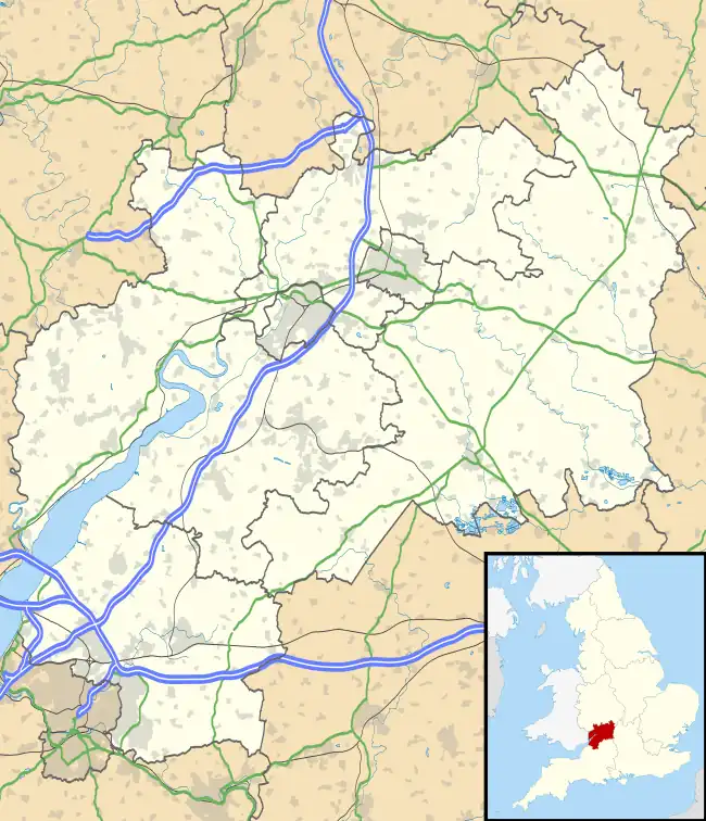 Hucclecote Location within Gloucestershire | |
| Population | 2,703 (2019)[1] |
| Civil parish |
|
| District | |
| Shire county | |
| Region | |
| Country | England |
| Sovereign state | United Kingdom |
| Post town | Gloucester |
| Postcode district | GL3 |
| Police | Gloucestershire |
| Fire | Gloucestershire |
| Ambulance | South Western |
Hucclecote is a civil parish in the Tewkesbury district, in the county of Gloucestershire, England.[2] As of 2019, it has a population of 2,703.[1] The parish doesn't include the Gloucester suburb of Hucclecote.
References
- 1 2 "Hucclecote (Parish, United Kingdom) - Population Statistics, Charts, Map and Location". citypopulation.de. Retrieved 30 September 2021.
- ↑ "Gloucestershire Parish Map" (PDF). Gloucestershire County Council. Retrieved 1 October 2021.
External links
![]() Media related to Hucclecote (civil parish) at Wikimedia Commons
Media related to Hucclecote (civil parish) at Wikimedia Commons
- Parish council
- Hucclecote parish map, archived 2014 here.
This article is issued from Wikipedia. The text is licensed under Creative Commons - Attribution - Sharealike. Additional terms may apply for the media files.