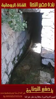
Hufayr al-Tahta
حفير التحتا | |
|---|---|
Village | |
 Hufayr al-Tahta Location in Syria | |
| Coordinates: 33°38′57″N 36°26′10″E / 33.64917°N 36.43611°E | |
| Country | |
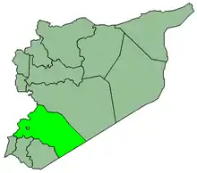
| Governorate | Rif Dimashq |
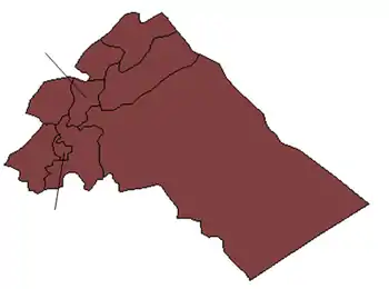
| District | Douma District |
| Subdistrict | Douma District |
| Population (2004) | |
| • Total | 3,688 |
| Time zone | UTC+2 (EET) |
| • Summer (DST) | UTC+3 (EEST) |
| City Qrya Pcode | C2336 |
Hufayr al-Tahta (also spelled Hafir Tahta; Arabic: حفير التحتا) is a Syrian village located in the Douma District of Rif Dimashq. Hufayr al-Tahta had a population of 3,688 as per the 2004 census.[1][2]
References
- ↑ "syr_pop_2004_sycensus_0.xls". view.officeapps.live.com. Retrieved 2019-07-12.
- ↑ "Hafir Tahta". wikimapia.org. Retrieved 2019-07-12.
|   | ||||||||||||||||||
|
| |||||||||||||||||||
| |||||||||||||||||||
| |||||||||||||||||||
| |||||||||||||||||||
| |||||||||||||||||||
| |||||||||||||||||||
| |||||||||||||||||||
| |||||||||||||||||||
This article is issued from Wikipedia. The text is licensed under Creative Commons - Attribution - Sharealike. Additional terms may apply for the media files.