| Indrois | |
|---|---|
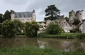 The Indrois at Montrésor | |
  | |
| Location | |
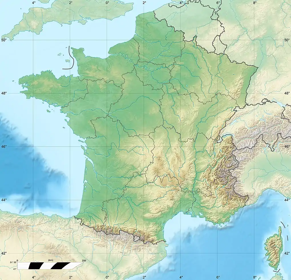
| Country | France |
| Physical characteristics | |
| Source | |
| • location | Villegouin |
| • coordinates | 47°00′00″N 01°21′06″E / 47.00000°N 1.35167°E |
| • elevation | 180 m (590 ft) |
| Mouth | |
• location | Indre |
• coordinates | 47°12′37″N 00°56′49″E / 47.21028°N 0.94694°E |
• elevation | 62 m (203 ft) |
| Length | 59.5 km (37.0 mi) |
| Basin size | 450 km2 (170 sq mi) |
| Discharge | |
| • average | 2.29 m3/s (81 cu ft/s) |
| Basin features | |
| Progression | Indre→ Loire→ Atlantic Ocean |
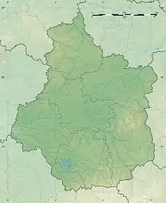
The Indrois (French pronunciation: [ɛ̃dʁwa]) is a 59.5-kilometre (37.0 mi) long river in the Indre and Indre-et-Loire departments in central France.[1] Its source is at Villegouin. It flows generally northwest. It is a right tributary of the Indre, into which it flows at Azay-sur-Indre.
Departments and communes along its course
This list is ordered from source to mouth:
- Indre: Villegouin, Préaux
- Indre-et-Loire: Villedômain, Loché-sur-Indrois, Villeloin-Coulangé, Montrésor, Chemillé-sur-Indrois, Beaumont-Village, Genillé, Saint-Quentin-sur-Indrois, Chédigny, Azay-sur-Indre,
References
Wikimedia Commons has media related to Indrois.
This article is issued from Wikipedia. The text is licensed under Creative Commons - Attribution - Sharealike. Additional terms may apply for the media files.