| Ingleby | |
|---|---|
 View to Saxilby from Ingleby | |
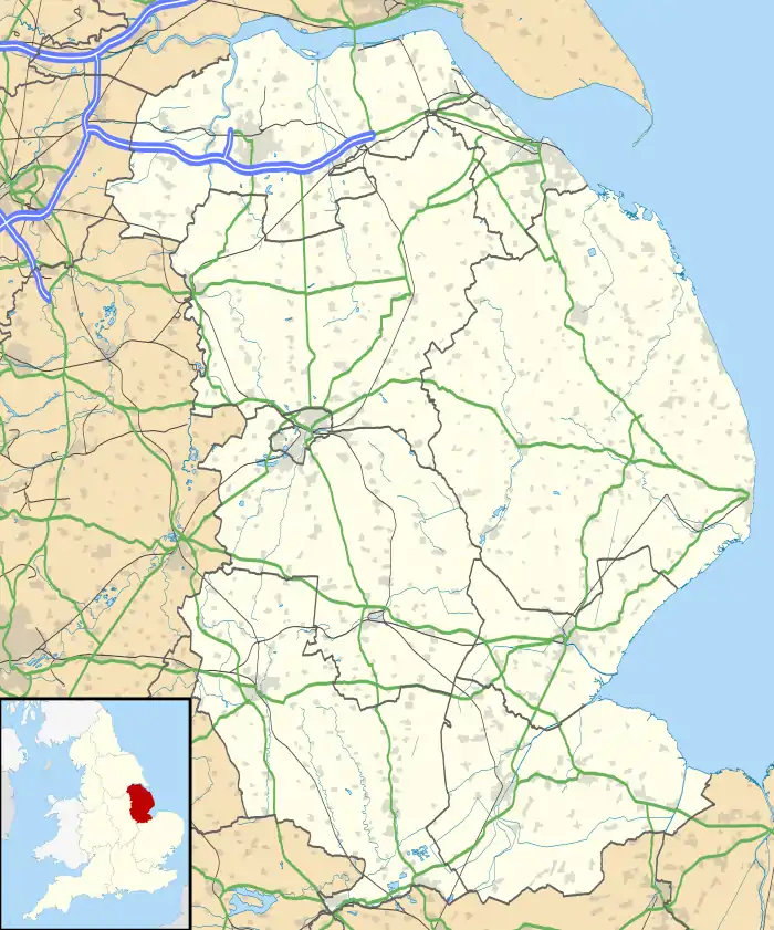 Ingleby Location within Lincolnshire | |
| OS grid reference | SK892771 |
| • London | 125 mi (201 km) S |
| Civil parish | |
| District | |
| Shire county | |
| Region | |
| Country | England |
| Sovereign state | United Kingdom |
| Post town | Lincoln |
| Postcode district | LN1 |
| Police | Lincolnshire |
| Fire | Lincolnshire |
| Ambulance | East Midlands |
| UK Parliament | |
Ingleby is a hamlet in the civil parish of Saxilby with Ingleby, in the West Lindsey district of Lincolnshire, England. It is situated less than 1 mile (1.6 km) north from the village of Saxilby, and 6 miles (10 km) north-west of Lincoln.
Ingleby comprised three areas, North Ingleby, South Ingleby and Low Ingleby.[1]
Ingleby is recorded three times as "Englebi" in the Domesday Book; in 1086 it comprised 38 households, which for the time was considered very large.[2][3]
In North Ingleby there are earthworks of a scheduled manor complex centred on a moated enclosure now occupied by Ingleby Hall Farm. Documents in 1569–70 record a Deer Park in the area.[4] It is also believed there was a church or chapel here – Saxilby church has a list of incumbents for Ingleby church – dating from 1086 to 1416.[4]
At South Ingleby there are earthworks for another manor, an island refuge contained within a moat, on the site of Ingleby Grange.[5]
References
- ↑ "Ingleby". Vision of Britain. University of Hull. Retrieved 5 July 2011.
- ↑ "Ingleby", Domesdaymap.co.uk. Retrieved 16 December 2011
- ↑ "Documents Online: Ingleby", Folios: 342r, 352v, 354r Great Domesday Book; The National Archives. Retrieved 16 December 2011
- 1 2 Historic England. "North Ingleby DMV (324620)". Research records (formerly PastScape). Retrieved 5 July 2011.
- ↑ Historic England. "Sth Ingleby DMV (324623)". Research records (formerly PastScape). Retrieved 5 July 2011.