| Isle | |
|---|---|
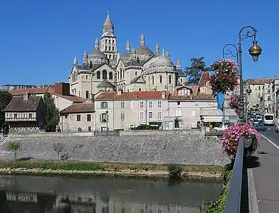 Isle River in Périgueux | |
  | |
| Location | |
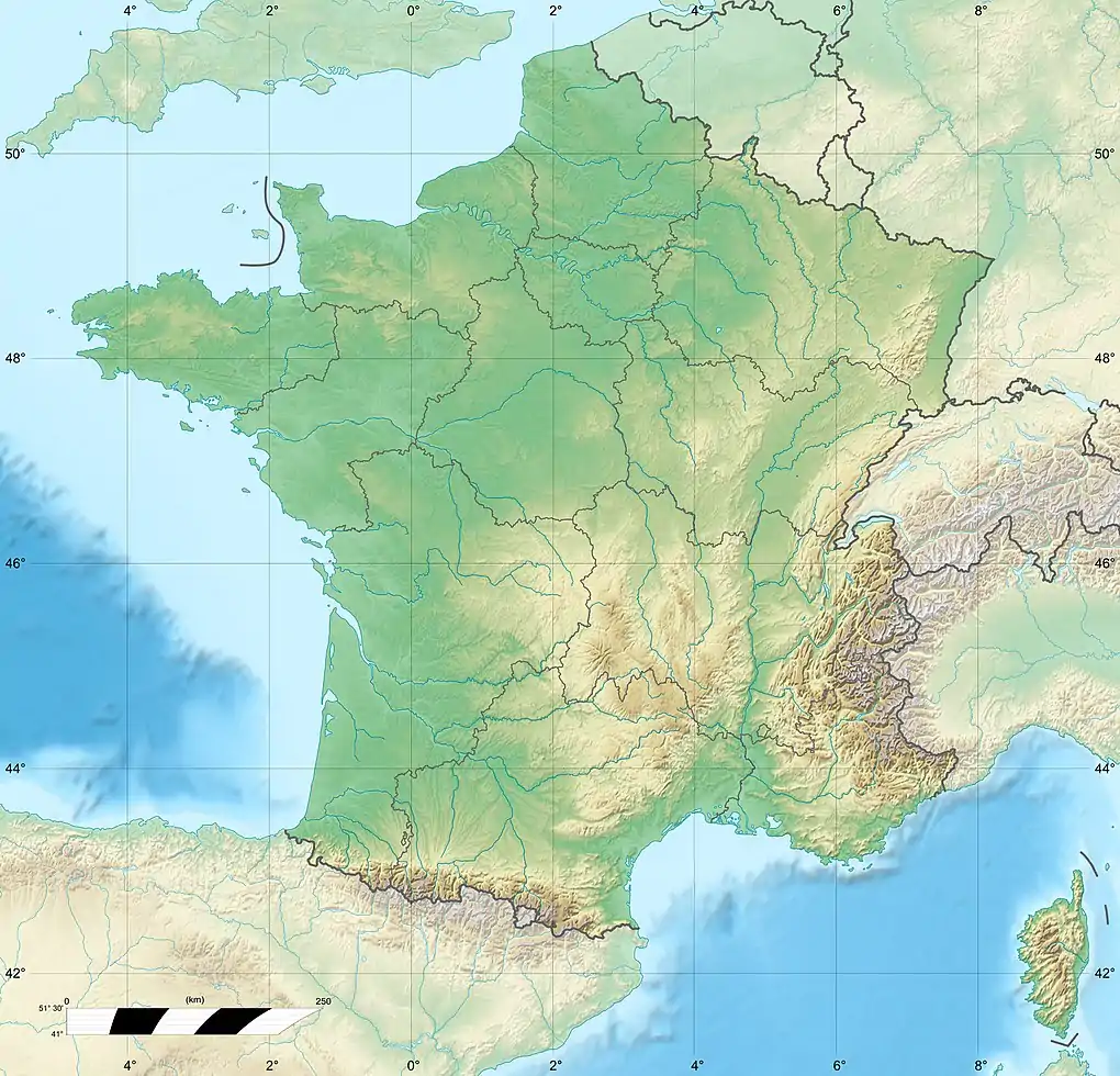
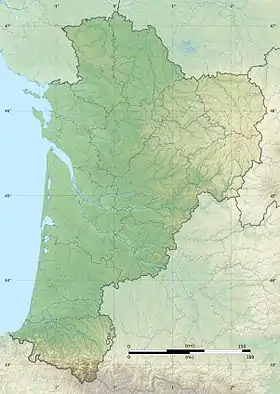
| Country | France |
| Physical characteristics | |
| Source | |
| • location | Plateau de Millevaches |
| Mouth | |
• location | Dordogne |
• coordinates | 44°54′56″N 0°14′57″W / 44.91556°N 0.24917°W |
| Length | 255 km (158 mi) |
| Basin size | 7,700 km2 (3,000 sq mi) |
| Discharge | |
| • average | 90 m3/s (3,200 cu ft/s) |
| Basin features | |
| Progression | Dordogne→ Gironde estuary→ Atlantic Ocean |
The Isle (French pronunciation: [il] ⓘ; Occitan: Eila) is a 255-kilometre (158 mi) long river in south-western France, right tributary of the Dordogne.[1] Its source is in the north-western Massif Central, near the town Nexon (south of Limoges). It flows south-west through the following départements and towns:
It flows into the Dordogne in Libourne. Among the tributaries of the Isle are the Auvézère, the Loue, the Beauronne and the Dronne.[1]
References
Wikimedia Commons has media related to Isle River.
This article is issued from Wikipedia. The text is licensed under Creative Commons - Attribution - Sharealike. Additional terms may apply for the media files.