Ituzaingó | |
|---|---|
 Ituzaingó, Argentina | |
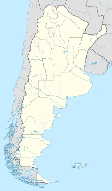 Ituzaingó Location of Ituzaingó in Argentina | |
| Coordinates: 27°36′S 56°40′W / 27.600°S 56.667°W | |
| Country | |
| Province | |
| Department | Ituzaingó |
| Elevation | 62 m (203 ft) |
| Population (2010) | |
| • Total | 19,575 |
| Demonym | Ituzaingueña/o |
| Time zone | UTC−3 (ART) |
| CPA base | W3302 |
| Dialing code | +54 3786 |
Ituzaingó is a city in Corrientes Province, Argentina, at the Argentina–Paraguay border.
The Yacyretá Dam is nearby.
Climate
| Climate data for Ituzaingó, Corrientes (extremes 1963–2016) | |||||||||||||
|---|---|---|---|---|---|---|---|---|---|---|---|---|---|
| Month | Jan | Feb | Mar | Apr | May | Jun | Jul | Aug | Sep | Oct | Nov | Dec | Year |
| Record high °C (°F) | 40.5 (104.9) |
40.5 (104.9) |
39.5 (103.1) |
36.0 (96.8) |
34.0 (93.2) |
30.5 (86.9) |
37.3 (99.1) |
35.0 (95.0) |
37.5 (99.5) |
37.5 (99.5) |
41.0 (105.8) |
41.0 (105.8) |
41.0 (105.8) |
| Mean daily maximum °C (°F) | 32.5 (90.5) |
31.7 (89.1) |
29.8 (85.6) |
27.0 (80.6) |
24.7 (76.5) |
21.8 (71.2) |
21.8 (71.2) |
22.8 (73.0) |
23.5 (74.3) |
27.2 (81.0) |
28.9 (84.0) |
31.2 (88.2) |
26.9 (80.4) |
| Daily mean °C (°F) | 26.3 (79.3) |
25.7 (78.3) |
24.5 (76.1) |
21.0 (69.8) |
18.0 (64.4) |
16.0 (60.8) |
15.9 (60.6) |
17.3 (63.1) |
19.0 (66.2) |
21.3 (70.3) |
23.7 (74.7) |
25.5 (77.9) |
21.2 (70.2) |
| Mean daily minimum °C (°F) | 19.7 (67.5) |
19.9 (67.8) |
18.0 (64.4) |
14.8 (58.6) |
12.6 (54.7) |
10.4 (50.7) |
10.6 (51.1) |
11.1 (52.0) |
12.8 (55.0) |
15.5 (59.9) |
17.6 (63.7) |
18.6 (65.5) |
15.1 (59.2) |
| Record low °C (°F) | 10.2 (50.4) |
9.9 (49.8) |
5.9 (42.6) |
3.0 (37.4) |
−0.7 (30.7) |
−1.4 (29.5) |
−1.0 (30.2) |
−0.5 (31.1) |
0.7 (33.3) |
6.7 (44.1) |
9.0 (48.2) |
10.4 (50.7) |
−1.4 (29.5) |
| Average precipitation mm (inches) | 183 (7.2) |
144 (5.7) |
122 (4.8) |
128 (5.0) |
62 (2.4) |
101 (4.0) |
80 (3.1) |
94 (3.7) |
118 (4.6) |
206 (8.1) |
153 (6.0) |
164 (6.5) |
1,555 (61.2) |
| Source 1: Secretaria de Mineria[1] | |||||||||||||
| Source 2: Servicio Meteorológico Nacional (extremes)[2][3] | |||||||||||||
References
- ↑ "Provincia de Corrientes - Clima Y Meteorologia" (in Spanish). Secretaria de Mineria de la Nacion (Argentina). Archived from the original on December 3, 2008. Retrieved October 26, 2015.
- ↑ "Clima en la Argentina: Guia Climática por Ituzaingó". Caracterización: Estadísticas de largo plazo (in Spanish). Servicio Meteorológico Nacional. Archived from the original on 4 September 2017. Retrieved 4 October 2017.
- ↑ "T Máximas martes 1/2: Resistencia 41°7 ⚠️, Lomitas 41°, Corrientes 40°5 // ITUZAINGÓ 40°5, POSADAS y MERCEDES 40°, las 3 NUEVO RÉCORD FEBRERO (1961/22), Reconquista, Rivadavia y Santiago todas 40°". Twitter.com. Retrieved 5 February 2022.
External links
- Municipal information: Municipal Affairs Federal Institute (IFAM), Municipal Affairs Secretariat, Ministry of Interior, Argentina. (in Spanish)
- (in Spanish) Municipal website
This article is issued from Wikipedia. The text is licensed under Creative Commons - Attribution - Sharealike. Additional terms may apply for the media files.