Ivanjševski Vrh | |
|---|---|
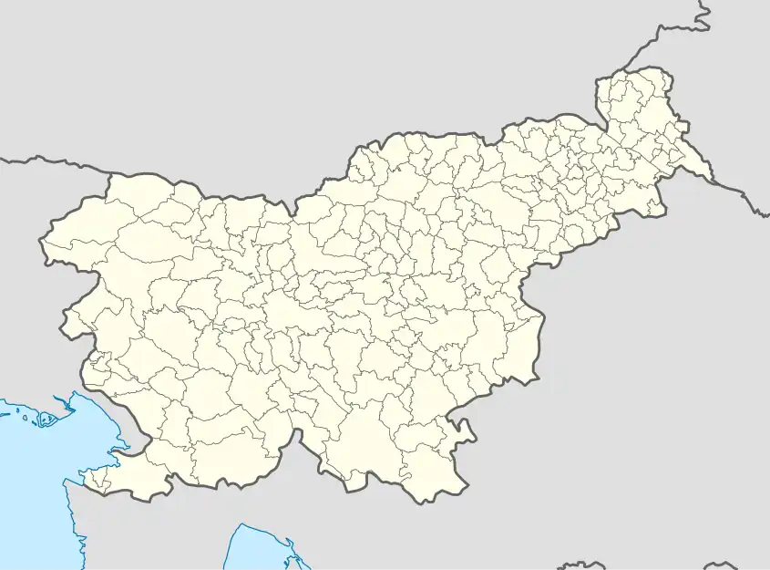 Ivanjševski Vrh Location in Slovenia | |
| Coordinates: 46°37′34.6″N 15°57′44.85″E / 46.626278°N 15.9624583°E | |
| Country | |
| Traditional region | Styria |
| Statistical region | Mura |
| Municipality | Gornja Radgona |
| Area | |
| • Total | 2.37 km2 (0.92 sq mi) |
| Elevation | 258.5 m (848.1 ft) |
| Population (2020) | |
| • Total | 84 |
| • Density | 35/km2 (92/sq mi) |
| [1] | |
Ivanjševski Vrh (pronounced [iˈʋaːnʃɛu̯ski ˈʋəɾx], in older sources Ivanjšovski Vrh,[2] German: Eibersberg[2]) is a dispersed village in the hills east of Radenci in northeastern Slovenia. It is in the territory of the Municipality of Gornja Radgona.[3]
References
- ↑ Statistical Office of the Republic of Slovenia
- 1 2 Leksikon občin kraljestev in dežel zastopanih v državnem zboru, vol. 4: Štajersko. Vienna: C. Kr. Dvorna in Državna Tiskarna. 1904. p. 186.
- ↑ Gornja Radgona municipal site
External links
| Settlements | Administrative seat: Gornja Radgona
|  |
|---|---|---|
| Landmarks |
| |
| Notable people |
| |
This article is issued from Wikipedia. The text is licensed under Creative Commons - Attribution - Sharealike. Additional terms may apply for the media files.