Jaitpur | |
|---|---|
Village | |
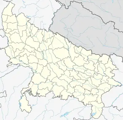 Jaitpur Location in Uttar Pradesh, India  Jaitpur Jaitpur (India) | |
| Coordinates: 25°16′52″N 79°30′45″E / 25.28111°N 79.51250°E | |
| Country | |
| State | Uttar Pradesh |
| District | Mahoba district |
| Subdistrict | Kulpahar |
| Government | |
| • Body | Gram panchayat |
| Languages | |
| • Official | Hindi |
| Time zone | UTC+5:30 (IST) |
| Vehicle registration | UP |
| Website | up |
Jaitpur is a village in Kulpahar sub-district of Uttar Pradesh. It lies at a distance of 10 km from Kulpahar on Kulpahar-Nowgong Highway.[1] The famous Belasagar lake is situated in this village.
History
Jaitpur was the former capital of Jaitpur State, one of the former princely states in the British Empire in India.[2] There were two forts in the area. In Jaitpur Bajirao peshwa defeated mughal general Muhaamad Khan Bangash In 1729.
References
- ↑ Wikimapia
- ↑ Great Britain India Office. The Imperial Gazetteer of India. Oxford: Clarendon Press, 1908.
This article is issued from Wikipedia. The text is licensed under Creative Commons - Attribution - Sharealike. Additional terms may apply for the media files.