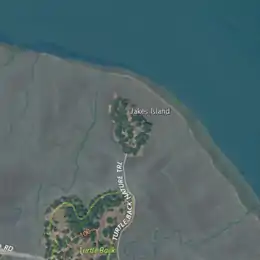
 USGS aerial imagery of Jakes Island | |
 Jakes Island 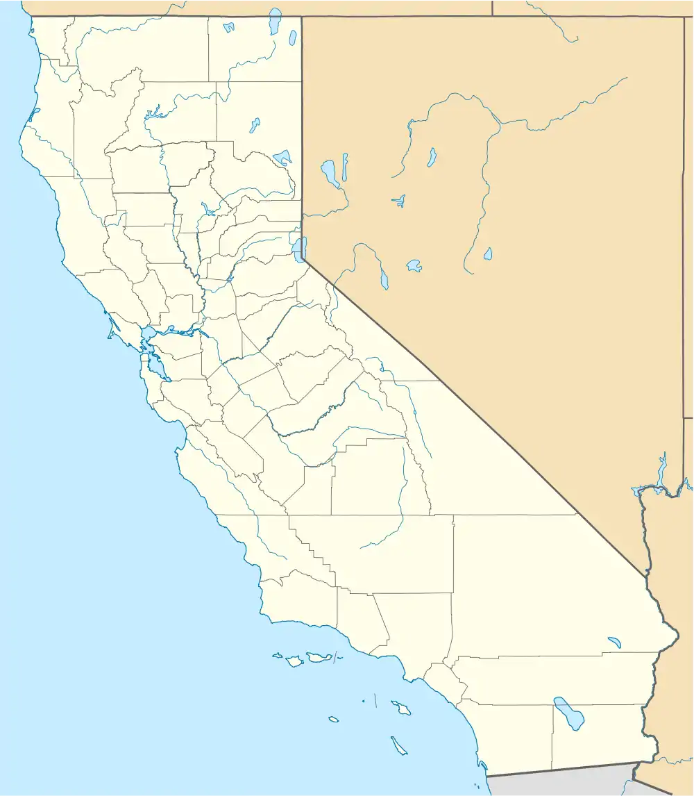 Jakes Island  Jakes Island | |
| Geography | |
|---|---|
| Location | Northern California |
| Coordinates | 38°00′47″N 122°29′20″W / 38.01306°N 122.48889°W[1] |
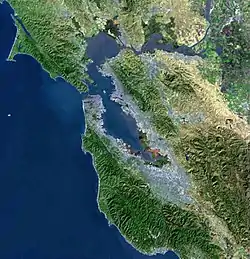
| Adjacent to | San Francisco Bay |
| Highest elevation | 52 ft (15.8 m)[1] |
| Administration | |
United States | |
| State | |
| County | Marin |
Jakes Island is an island in San Francisco Bay. It is in Marin County, California. Its coordinates are 38°00′47″N 122°29′20″W / 38.01306°N 122.48889°W[1], and the United States Geological Survey gives its elevation as 52 ft (16 m).[1][2] Egrets can be seen there.[3]
References
- 1 2 3 4 U.S. Geological Survey Geographic Names Information System: Jakes Island
- ↑ United States Geological Survey (2015). "Petaluma Point Quadrangle, California" (Map). United States Department of the Interior Geological Survey. 1:24000.
- ↑ "Egret watching". The San Francisco Examiner. San Francisco, California. 1995-09-01. p. 66.
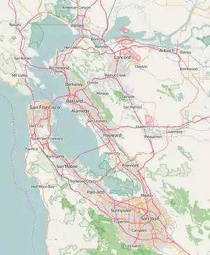
Map: Islands of the San Francisco Bay Area | |
|---|---|

(islands of Suisun Bay and the Sacramento–San Joaquin River delta) |
This article is issued from Wikipedia. The text is licensed under Creative Commons - Attribution - Sharealike. Additional terms may apply for the media files.