Jalalpur Bhattian
جلال پوربھٹیاں | |
|---|---|
 Jalalpur Bhattian Location on Hafizabad road from Pindi Bhattian | |
| Coordinates: 32°03′52″N 73°22′37″E / 32.06444°N 73.37699°E | |
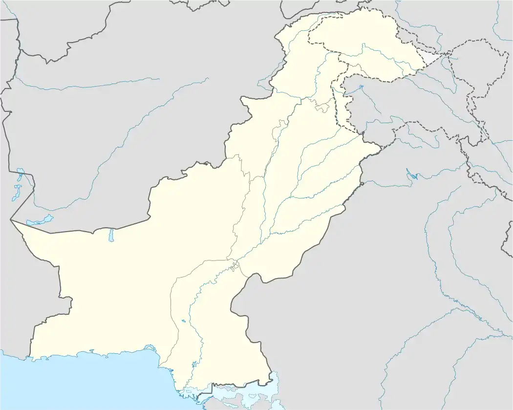
| Country | Pakistan |
| Province | Punjab |
| District | Hafizabad District |
| Division | Gujranwala Division |
| Government | |
| Population (2017 census)[1] | 40,897 |
| Postal code | 52170 |
| Area code | 0547 |
Jalalpur Bhattian (Urdu: جلال پُور بهٹياں), is a city in the Hafizabad District of Pakistan.[2][3] Jalalpur Bhattian is located 5 kilometres (3.1 mi) southeast of the Chenab River, 96.2 kilometres (59.8 mi) by road northeast of Faisalabad.
References
- ↑ "Population of Jalalpur Bhattian (2017 census)". Citypopulation.de website. Retrieved 5 May 2023.
- ↑ "Jalalpur Bhattian (shown under Pindi Bhattian Tehsil)". National Reconstruction Bureau, Government of Pakistan website. Archived from the original on 27 May 2008. Retrieved 5 May 2023.
- ↑ "Jalalpur Bhattian, Pakistan Page". Fallingrain.com website.
Neighbourhoods of Hafizabad | ||
|---|---|---|
Administration: Hafizabad District | ||
| Tehsils |  | |
| Cities |
| |
| Towns & councils | ||
| Localities |
| |
Website: Hafizabad District at NRB | ||
This article is issued from Wikipedia. The text is licensed under Creative Commons - Attribution - Sharealike. Additional terms may apply for the media files.