Jamalpur
জামালপুর | |
|---|---|
City and Municipality | |
 Jamalpur 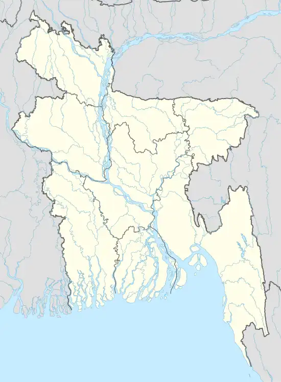 Jamalpur | |
| Coordinates: 24°55′30″N 89°56′35″E / 24.925°N 89.943°E | |
| Country | |
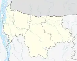
| Division | Mymensingh Division |
| District | Jamalpur District |
| Government | |
| • Type | Mayor–Council |
| • Body | Jamalpur Municipal Corporation |
| Area | |
| • Total | 55.2 km2 (21.3 sq mi) |
| Population | |
| • Total | 142,764 |
| • Density | 2,600/km2 (6,700/sq mi) |
| Time zone | UTC+6 (Bangladesh Time) |
| National Dialing Code | +880 |
Jamalpur is a city and district headquarter of Jamalpur District in the division of Mymensingh, Bangladesh. It lies along the bank of the Old Brahmaputra river. As of 2011 it had a population of 142,764, of which 96.51% were Muslim and 3.46% Hindu.[1]
References
- 1 2 "Community Tables: Jamalpur" (PDF). bbs.gov.bd. Bangladesh Bureau of Statistics. November 2014.
This article is issued from Wikipedia. The text is licensed under Creative Commons - Attribution - Sharealike. Additional terms may apply for the media files.