Jamba | |
|---|---|
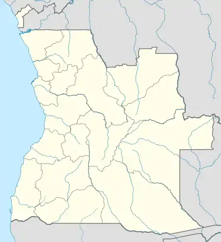 Jamba Location in Angola | |
| Coordinates: 14°42′S 16°04′E / 14.700°S 16.067°E | |
| Country | |
| Province | Huíla |
| Area | |
| • Municipality | 11,200 km2 (4,300 sq mi) |
| Population (2014 Census)[1] | |
| • Municipality | 105,090 |
| • Density | 11/km2 (30/sq mi) |
| • Urban | 12,000 |
| Time zone | UTC+1 (WAT) |
| Climate | Cwa |
Jamba is a town and a municipality, with a population of 105,090 (2014 census), in the province of Huíla, Angola.[1]
Administrative subdivisions
The municipality of Jamba comprises three communes as follows
Transport
Rail
Jamba is served by the terminus of a short branch railway of the southern line of the national railway system.
Air
See also
References
- 1 2 "Resultados Definitivos Recenseamento Geral da População e Habitação – 2014 Província da Huíla" (PDF). Instituto Nacional de Estatística, República de Angola. Retrieved 3 May 2020.
- ↑ Citypopulation.de Population of cities & urban localities in Angola
- ↑ "Huíla". Luanda, Angola: Angola Press News Agency. 2013. Retrieved 2013-12-02.
Capital: Lubango | |
| Caconda | |
| Cacula |
|
| Caluquembe | |
| Chibia | |
| Chicomba | |
| Chipindo | |
| Cuvango | |
| Gambos | |
| Humpata | |
| Jamba | |
| Lubango | |
| Matala | |
| Quilengues | |
| Quipungo | |
This article is issued from Wikipedia. The text is licensed under Creative Commons - Attribution - Sharealike. Additional terms may apply for the media files.