Jawalapur | |
|---|---|
Village | |
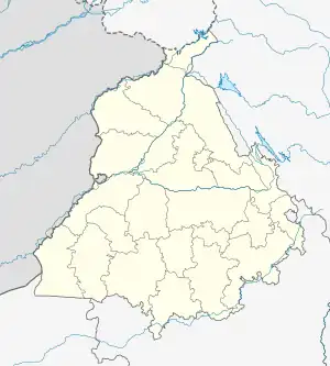  Jawalapur Location in Punjab, India 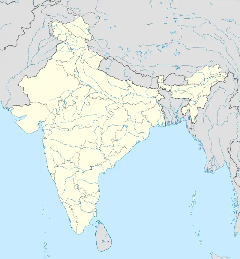 Jawalapur Jawalapur (India) | |
| Coordinates: 31°18′32″N 75°22′51″E / 31.308826°N 75.380931°E | |
| Country |  India India |
| State | Punjab |
| District | Kapurthala |
| Government | |
| • Type | Panchayati raj (India) |
| • Body | Gram panchayat |
| Population (2011) | |
| • Total | 309[1] |
| Sex ratio 168/141♂/♀ | |
| Languages | |
| • Official | Punjabi |
| • Other spoken | Hindi |
| Time zone | UTC+5:30 (IST) |
| PIN | 144601 |
| Telephone code | 01822 |
| ISO 3166 code | IN-PB |
| Vehicle registration | PB-09 |
| Website | kapurthala |
Jawalapur is a village in Kapurthala district of Punjab State, India. It is located 11 kilometres (6.8 mi) from Kapurthala, which is both the district and sub-district headquarters. The village is administrated by a Sarpanch who is an elected representative.
Demography
According to the 2011 Census of India, Jawalapur had 62 houses and a population of 309, of which 168 were male and 141 female. The literacy rate was 78.06%, higher than the state average of 75.84%. The population of children in the age group 0–6 years was 31, being 10.03% of the total population. The child sex ratio was approximately 824, lower than the state average of 846.[2]
Population data
| Particulars | Total | Male | Female |
|---|---|---|---|
| Total No. of Houses | 62 | - | - |
| Population | 309 | 168 | 141 |
| Child (0-6) | 31 | 17 | 14 |
| Schedule Caste | 158 | 84 | 74 |
| Schedule Tribe | 0 | 0 | 0 |
| Literacy | 78.06 % | 82.12 % | 73.23 % |
| Total Workers | 121 | 97 | 24 |
| Main Worker | 121 | 0 | 0 |
| Marginal Worker | 0 | 0 | 0 |
References
- ↑ "Jawalapur Population per Census 2011". census2011.co.in.
- ↑ "Jawalapur". census2011.co.in. Retrieved 28 July 2016.
External links
This article is issued from Wikipedia. The text is licensed under Creative Commons - Attribution - Sharealike. Additional terms may apply for the media files.