Jerinov Grič | |
|---|---|
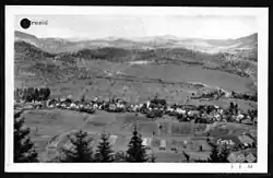 Pre-World War II postcard of Jerinov Grič | |
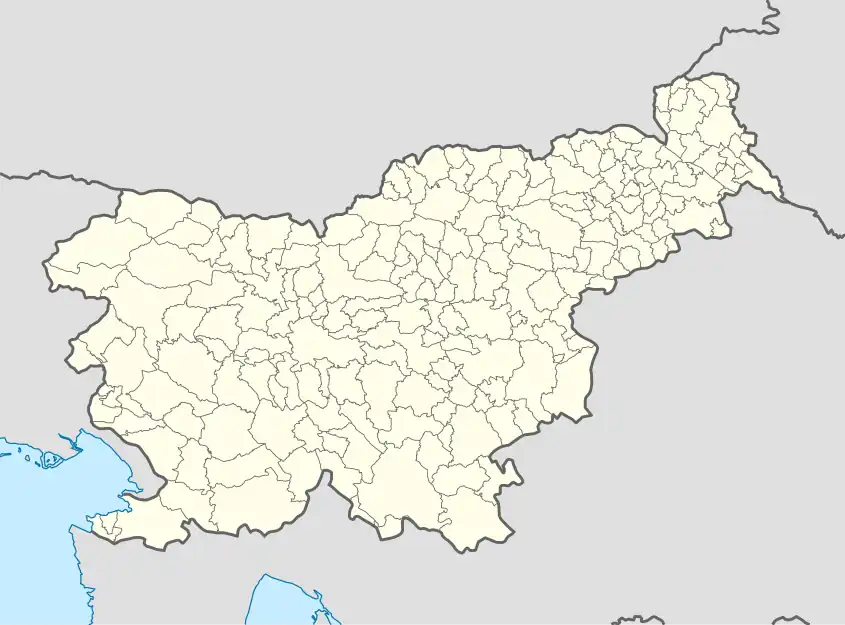 Jerinov Grič Location in Slovenia | |
| Coordinates: 45°57′10.65″N 14°13′44.29″E / 45.9529583°N 14.2289694°E | |
| Country | |
| Traditional region | Inner Carniola |
| Statistical region | Central Slovenia |
| Municipality | Vrhnika |
| Area | |
| • Total | 0.36 km2 (0.14 sq mi) |
| Elevation | 550.4 m (1,805.8 ft) |
| [1] | |
Jerinov Grič (pronounced [jɛˈɾiːnɔu̯ ˈɡɾiːtʃ]) is a small settlement in the hills southwest of Vrhnika in the Inner Carniola region of Slovenia.[2]
History
The remnants of a Roman wall are located in Jerinov Grič. The name of the adjacent village of Prezid (literally, 'before the wall') reflects this.[3]
References
- ↑ Statistical Office of the Republic of Slovenia
- ↑ Vrhnika municipal site
- ↑ Savnik, Roman (1968). Krajevni leksikon Slovenije, vol. 1. Ljubljana: Državna založba Slovenije. pp. 454–455.
External links
 Media related to Jerinov Grič at Wikimedia Commons
- Jerinov Grič on Geopedia
| Settlements | 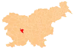 | |
|---|---|---|
| Landmarks |
| |
| Notable people |
| |
This article is issued from Wikipedia. The text is licensed under Creative Commons - Attribution - Sharealike. Additional terms may apply for the media files.