| Joshua Green River | |
|---|---|
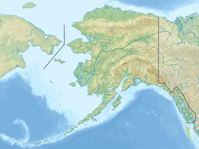 Location of the mouth of the Joshua Green River in Alaska | |
| Location | |
| Country | United States |
| State | Alaska |
| Borough | Aleutians East |
| Physical characteristics | |
| Source | Aleutian Range |
| • location | Izembek Wilderness |
| • coordinates | 55°20′20″N 162°28′00″W / 55.33889°N 162.46667°W[1] |
| • elevation | 13 ft (4.0 m)[2] |
| Mouth | Bristol Bay on the Bering Sea[1] |
• location | 17 miles (27 km) northeast of Cold Bay |
• coordinates | 55°23′30″N 162°29′10″W / 55.39167°N 162.48611°W[1] |
• elevation | 7 ft (2.1 m)[1] |
| Length | 15 mi (24 km)[3] |
The Joshua Green River is a stream, 15 miles (24 km) long, in the Aleutians East Borough of the U.S. state of Alaska.[3] It flows generally northwest across the Izembek National Wildlife Refuge from its source in the Aleutian Range of the Alaska Peninsula into Moffet Lagoon, Bristol Bay, on the Bering Sea.[4] The river's mouth is 17 miles (27 km) northeast of Cold Bay.[3]
See also
References
- 1 2 3 4 "Joshua Green River". Geographic Names Information System. United States Geological Survey. January 1, 2000. Retrieved November 2, 2013.
- ↑ Derived by entering source coordinates in Google Earth.
- 1 2 3 Orth, Donald J.; United States Geological Survey (1971) [1967]. Dictionary of Alaska Place Names: Geological Survey Professional Paper 567 (PDF). University of Alaska Fairbanks. United States Government Printing Office. p. 478. Archived from the original (PDF) on October 17, 2013. Retrieved November 2, 2013.
- ↑ Alaska Atlas & Gazetteer (7th ed.). Yarmouth, Maine: DeLorme. 2010. pp. 138–39. ISBN 978-0-89933-289-5.
External links
- Joshua Green River fish survey – U.S. Fish and Wildlife Service
This article is issued from Wikipedia. The text is licensed under Creative Commons - Attribution - Sharealike. Additional terms may apply for the media files.