NT07 Kōya Station 高野駅 | |||||||||||
|---|---|---|---|---|---|---|---|---|---|---|---|
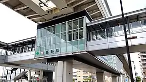 The station building in July 2021 | |||||||||||
| General information | |||||||||||
| Location | 2-45-1 Ogi, Adachi Ward, Tokyo Japan | ||||||||||
| Operated by | |||||||||||
| Line(s) | NT Nippori-Toneri Liner | ||||||||||
| Platforms | 1 island platform | ||||||||||
| Tracks | 2 | ||||||||||
| Construction | |||||||||||
| Structure type | Elevated | ||||||||||
| Other information | |||||||||||
| Station code | 07 | ||||||||||
| History | |||||||||||
| Opened | 30 March 2008 | ||||||||||
| Services | |||||||||||
| |||||||||||
| Location | |||||||||||
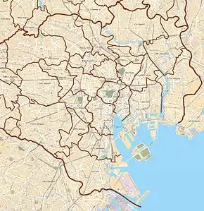 Koya Station Location within Special wards of Tokyo  Koya Station Koya Station (Tokyo Bay and Bōsō Peninsula) 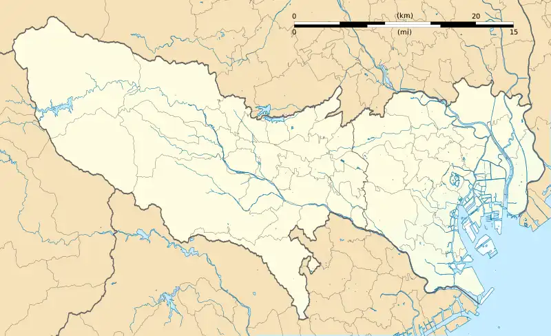 Koya Station Koya Station (Tokyo)  Koya Station Koya Station (Japan) | |||||||||||
Kōya Station (高野駅, Kōya-eki) is a railway station located in Adachi, Tokyo, Japan. It is 4.6 km (2.9 mi) from Nippori Station.
Lines
Station Layout
This elevated station consists of a single island platform serving two tracks.
History
The station opened on 30 March 2008, when the Nippori-Toneri Liner began operation.[1]
Station numbering was introduced in November 2017 with the station receiving station number NT07.[2]
References
- ↑ "新交通システム「日暮里・舎人線」(仮称)路線名・駅名決定!" [New transportation system "Nippori-Toneri Line" (provisional name) route name and station name decided!]. kotsu.metro.tokyo.jp (in Japanese). 13 November 2006. Archived from the original on 1 May 2008. Retrieved 26 December 2022.
- ↑ "東京さくらトラム(都電荒川線)及び日暮里・舎人ライナーに「駅ナンバリング」を導入いたします" ["Station numbering" will be introduced on the Tokyo Sakura Tram (Toden Arakawa Line) and the Nippori-Toneri Liner.] (PDF). kotsu.metro.tokyo.jp (in Japanese). 16 November 2017. Archived from the original (PDF) on 19 January 2019. Retrieved 26 December 2022.
External links
 Media related to Kōya Station at Wikimedia Commons
- Kōya Station (Toei) (in Japanese)
35°46′06″N 139°46′15″E / 35.7684°N 139.7707°E
This article is issued from Wikipedia. The text is licensed under Creative Commons - Attribution - Sharealike. Additional terms may apply for the media files.