Kadthal | |
|---|---|
Village | |
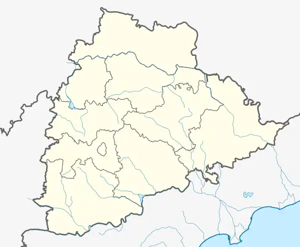 Kadthal Location in Telangana, India  Kadthal Kadthal (India) | |
| Coordinates: 16°59′09″N 78°30′05″E / 16.985875°N 78.501420°E | |
| Country | |
| State | Telangana |
| District | Ranga Reddy |
| Population | |
| • Total | 10,581 |
| Languages | |
| • Official | Telugu |
| Time zone | UTC+5:30 (IST) |
| PIN | 509358 |
| Telephone code | 08543 |
| Vehicle registration | TS07 |
| Nearest city | Hyderabad |
| Climate | hot (Köppen) |
Kadthal is a village in Ranga Reddy district of the Indian state of Telangana. It is located in Kadthal mandal of Kandukur revenue division.[1] Kadthal has emerged as a vibrant town along the Hyderabad Srisailam highway.
Maheswara Maha Pyramid, Kadthal Main Rd[2][3] and Maisigandi Maisamma Temple, Kadthal are popular attractions located close to Kadthal town.
The upcoming Hyderabad Pharma City is in close proximity to the Kadthal town.[4]
The villages in Kadthal mandal include:
1. Chellampally (Takuraju Guda, Vampu Guda, Jonnala Rasi, Balaji Nagar) 2. Maisigandi 3. Salarpoor 4. Maktta Madaram 5. Karkalpahad 6. Govinda Pally 7. Vasdevupur 8. Raviched
References
- ↑ "Rangareddy district" (PDF). New Districts Formation Portal. Government of Telangana. Archived from the original (PDF) on 13 October 2016. Retrieved 26 March 2017.
- ↑ "Home". maheshwarapyramid.org.
- ↑ "Home". pssmovement.org.
- ↑ Kumar, N. Ravi (19 May 2018). "Environment Ministry panel recommends green nod for Pharma City". The Hindu. ISSN 0971-751X. Retrieved 20 September 2020.
This article is issued from Wikipedia. The text is licensed under Creative Commons - Attribution - Sharealike. Additional terms may apply for the media files.