| Kaiseregg | |
|---|---|
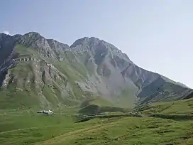 View from the north side | |
| Highest point | |
| Elevation | 2,185 m (7,169 ft) |
| Prominence | 190 m (620 ft)[1] |
| Parent peak | Schafberg |
| Isolation | 1.64 km (1.02 mi) |
| Coordinates | 46°39′8.7″N 7°19′8.6″E / 46.652417°N 7.319056°E |
| Geography | |
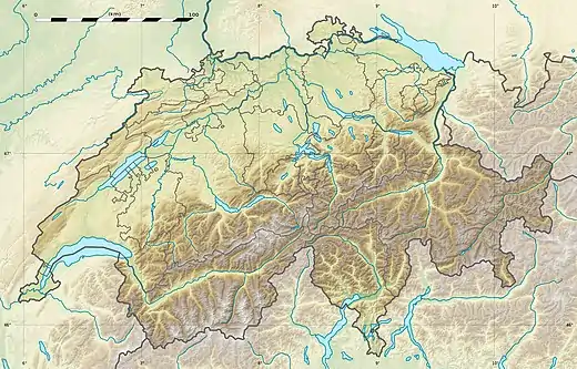 Kaiseregg Location in Switzerland | |
| Location | Fribourg, Switzerland (mountain partially in Bern) |
| Parent range | Fribourg Alps |
The Kaiseregg is a mountain in the Bernese Alps, overlooking Schwarzsee in the canton of Fribourg. Its summit, which can be accessed by trail, is located a few hundred meters from the border with the canton of Bern.
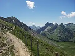 Trail to the summit
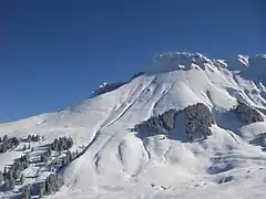 Kaiseregg in winter
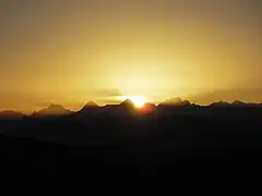 Sunrise with Eiger, Mönch and Jungfrau
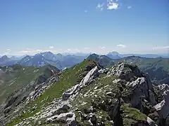 Panorama (southwest)
References
- ↑ Retrieved from the Swisstopo topographic maps and Google Earth. The key col is located south of the mountain at 1,995 metres.
External links
 Media related to Kaiseregg at Wikimedia Commons
- Kaiseregg on Hikr
This article is issued from Wikipedia. The text is licensed under Creative Commons - Attribution - Sharealike. Additional terms may apply for the media files.