| Kalkadoon Mount Isa, Queensland | |||||||||||||||
|---|---|---|---|---|---|---|---|---|---|---|---|---|---|---|---|
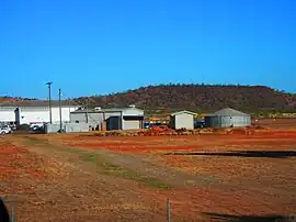 Mine Logistics Site, 2013 | |||||||||||||||
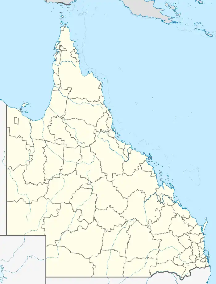  Kalkadoon | |||||||||||||||
| Coordinates | 20°40′21″S 139°29′15″E / 20.6726°S 139.4875°E | ||||||||||||||
| Population | 29 (2016 census)[1] | ||||||||||||||
| • Density | 4.46/km2 (11.56/sq mi) | ||||||||||||||
| Postcode(s) | 4825 | ||||||||||||||
| Area | 6.5 km2 (2.5 sq mi) | ||||||||||||||
| Time zone | AEST (UTC+10:00) | ||||||||||||||
| LGA(s) | City of Mount Isa | ||||||||||||||
| State electorate(s) | Traeger | ||||||||||||||
| Federal division(s) | Kennedy | ||||||||||||||
| |||||||||||||||
Kalkadoon is a suburb of Mount Isa in the City of Mount Isa, Queensland, Australia.[2] In the 2016 census, Kalkadoon had a population of 29 people.[1]
Geography
The Leichhardt River flows north-south through the town of Mount Isa, dividing the suburbs of the town into "mineside" (west of the Leichhardt River) and "townside" (east of the Leichhardt River).[3][4] Kalkadoon is a "mineside" suburb.[5]
Despite the name, the Kalkadoon State High School was in the Mount Isa suburb of Pioneer.
History
In the 2016 census, Kalkadoon had a population of 29 people.[1]
References

Wikimedia Commons has media related to Kalkadoon, Queensland.
- 1 2 3 Australian Bureau of Statistics (27 June 2017). "Kalkadoon (SSC)". 2016 Census QuickStats. Retrieved 20 October 2018.
- ↑ "Kalkadoon – suburb in City of Mount Isa (entry 42461)". Queensland Place Names. Queensland Government. Retrieved 7 March 2022.
- ↑ "Mount Isa". Australian Broadcasting Corporation. 2 January 2017. Archived from the original on 19 December 2020. Retrieved 19 December 2020.
- ↑ "This Mining Life: Mount Isa, QLD". Mining People International. Archived from the original on 19 December 2020. Retrieved 19 December 2020.
- ↑ "Queensland Globe". State of Queensland. Retrieved 19 December 2020.
This article is issued from Wikipedia. The text is licensed under Creative Commons - Attribution - Sharealike. Additional terms may apply for the media files.