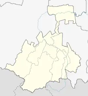
| Kambileyevka | |
|---|---|
  .jpg.webp) | |
| Location | |
| Country | North Ossetia–Alania (Russia) |
| Physical characteristics | |
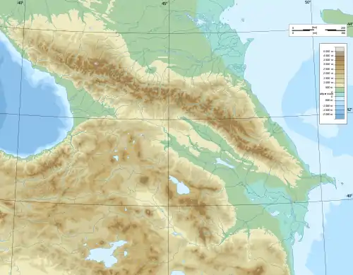
| Source | |
| • location | Caucasus Mountains |
| Mouth | Terek |
• coordinates | 43°15′59″N 44°16′16″E / 43.2664°N 44.2712°E |
| Length | 99 km (62 mi) |
| Basin size | 954 km2 (368 sq mi) |
| Basin features | |
| Progression | Terek→ Caspian Sea |
The Kambileyevka (Ossetian: Хуымæллæджы дон, romanized: Xwymællæĝy don, Ingush: Гӏалми, romanized: Ghalmi, Russian: Камбилеевка) is a river of North Ossetia–Alania in southwestern Russia. It is a right tributary of the Terek.[1][2] The river is 99 kilometres (62 mi) long, with a drainage basin of 954 square kilometres (368 sq mi).[3]
References
- ↑ Netherlands. Ministerie van Sociale Zaken en Volksgezondheid; Excerpta Medica Foundation (1974). Environmental health and pollution control. Excerpta Medica. p. 638.
- ↑ Baddeley, John Frederick (1940). The rugged flanks of Caucasus. Oxford University Press. p. 21.
- ↑ "Река Камбилеевка in the State Water Register of Russia". textual.ru (in Russian).
This article is issued from Wikipedia. The text is licensed under Creative Commons - Attribution - Sharealike. Additional terms may apply for the media files.