Kannampadi
Kannampadi, Kannampady | |
|---|---|
Tribal settlement | |
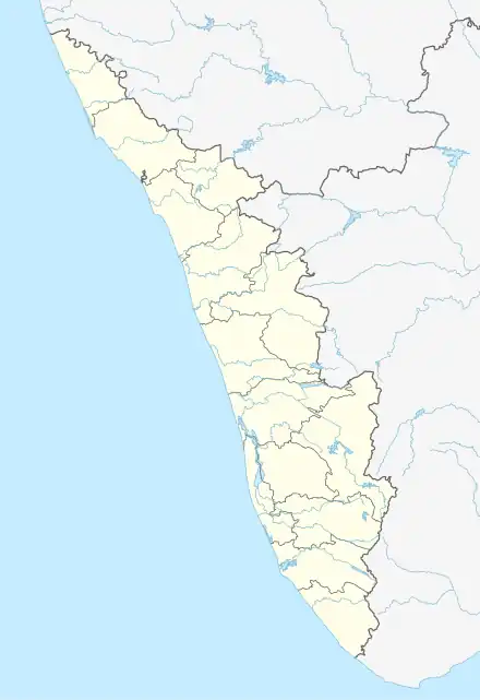 Kannampadi Location in Kerala, India  Kannampadi Kannampadi (India) | |
| Coordinates: 9°43′16″N 76°59′42″E / 9.7210933°N 76.9950384°E | |
| Country | |
| State | Kerala |
| District | Idukki |
| Government | |
| • Type | Panchayath |
| • Body | Upputhara grama panchayath |
| Languages | |
| • Official | Malayalam, English |
| Time zone | UTC+5:30 (IST) |
| PIN | 685505 |
| Telephone code | 04869 |
| Vehicle registration | KL-37 |
| Nearest cities | Upputhara, Kattappana |
| Lok Sabha constituency | Idukki |
Kannambadi or Kannampadi is a remote tribal settlement located inside the Idukki Wildlife Sanctuary and near the Idukki Hydro Electric Project area in the district of Idukki in Kerala, India.[1]It is noted for its beautiful sceneries and the old government tribal school, started in 1956.[2]
Access
The nearest town to Kannambady is Upputhara, which is located about 14 km southeast. Privately operated buses provides services to Kannambady from Kattappana and Upputhara.
Distances from nearby places
- Kattappana - 32 km
- Pasuppara - 13 km
- Kottamala - 13 km
- Kozhimala - 21 km
References
- ↑ "Kannambadi, Upputhara Panchayat, Idukki District, Kerala, India | Kerala Tourism". www.keralatourism.org. Retrieved 27 November 2016.
- ↑ "Gths Kannampady School, Upputhara, Idukki - Kerala". iCBSE. Retrieved 27 November 2016.
This article is issued from Wikipedia. The text is licensed under Creative Commons - Attribution - Sharealike. Additional terms may apply for the media files.