Kawmoora | |
|---|---|
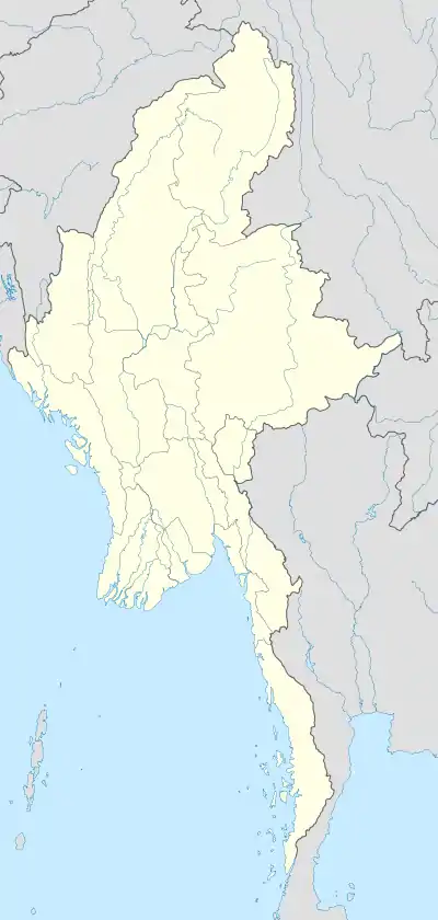 Kawmoora Location in Myanmar (Burma) | |
| Coordinates: 16°47′41″N 98°31′7″E / 16.79472°N 98.51861°E | |
| Country | |
| Division | Kayin State |
| District | Myawaddy District |
| Township | Myawaddy Township |
| Time zone | UTC+6.30 (MMT) |
Kawmoora (S'gaw Karen: ကီၢ်မူရၤ; Burmese: ကော့မူးရာ) was a stronghold of the rebel Karen National Liberation Army, the armed wing of the Karen National Union. It was located on a large sandbank linked to Myanmar through a narrow strip of land fortified by a 50-metre (160 ft)-long border wall. Kawmoora was completely surrounded by Thailand.
The Tatmadaw (Myanmar Armed Forces) captured Kawmoora on 21 February 1995.[1]
External links
References
This article is issued from Wikipedia. The text is licensed under Creative Commons - Attribution - Sharealike. Additional terms may apply for the media files.