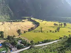
Kedarsyu Rural Municipality
केदारस्यु गाउँपालिका | |
|---|---|
 | |
 Kedarsyu Rural Municipality केदारस्यु गाउँपालिका | |
| Coordinates: 29°30′48″N 80°56′06″E / 29.5134°N 80.9350°E | |
| Country | |
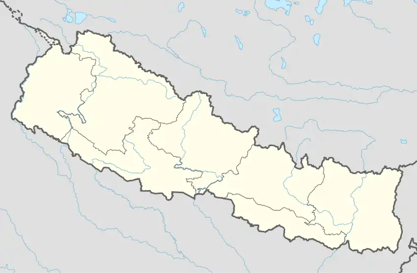
| Province | Sudurpashchim Province |
| District | Bajhang District |
| Government | |
| • Type | Local government |
| • Chairperson | Barka B. Rokaya |
| • Administration Head | Deepak K. Rawal |
| Area | |
| • Total | 113.91 km2 (43.98 sq mi) |
| Population | |
| • Total | 21,307 |
| • Density | 190/km2 (480/sq mi) |
| Time zone | UTC+05:45 (Nepal Standard Time) |
| Website | https://www.kedarasyumun.gov.np/ |
Kedarsyu (Nepali: केदारस्यु ) is a Gaupalika(Nepali: गाउपालिका ; gaupalika) in Bajhang District in the Sudurpashchim Province of far-western Nepal.[1]
Kedarsyu has a population of 21307.The land area is 113.91 km2.[2]
Demographics
At the time of the 2011 Nepal census, Kedarsyu Rural Municipality had a population of 21,316. Of these, 51.2% spoke Nepali, 48.0% Bajhangi, 0.2% Doteli, 0.1% Baitadeli, 0.1% Gurung, 0.1% Rai and 0.2% other languages as their first language.[3]
In terms of ethnicity/caste, 70.2% were Chhetri, 10.0% other Dalit, 7.8% Hill Brahmin, 5.9% Thakuri, 3.9% Kami, 1.0% Damai/Dholi, 0.6% Sanyasi/Dasnami, 0.2% Sarki, 0.1% Gurung, 0.1% Rai, 0.1% other Terai and 0.2% others.[4]
In terms of religion, 99.9% were Hindu.[5]
In terms of literacy, 52.3% could read and write, 3.9% could only read and 43.8% could neither read nor write.[6]
References
- ↑ "Ministry of Federal Affairs". Retrieved 6 July 2020.
- ↑ "National Population and Housing Census 2011(National Report)" (PDF). Central Bureau of Statistics. Government of Nepal. 2012. Archived from the original (PDF) on 2013-04-18. Retrieved 2012-01-01.
- ↑ NepalMap Language
- ↑ NepalMap Caste
- ↑ NepalMap Religion
- ↑ NepalMap Literacy