Kelaa
ކެލާ | |
|---|---|
 | |
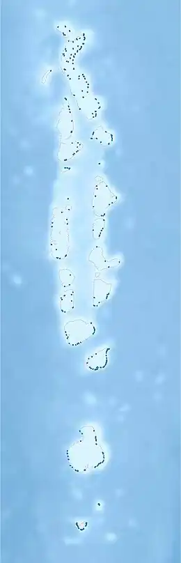 Kelaa Location in Maldives | |
| Coordinates: 6°57′35″N 73°12′46″E / 6.95972°N 73.21278°E | |
| Country | Maldives |
| Geographic atoll | Thiladhunmathi Atoll |
| Administrative atoll | Haa Alif Atoll |
| Distance to Malé | 309.66 km (192.41 mi) |
| Government | |
| • Council | Kelaa Island Council |
| Dimensions | |
| • Length | 3.06 km (1.90 mi) |
| • Width | 1.04 km (0.65 mi) |
| Population (2014)[1] | |
| • Total | 1,074 (including foreigners) |
| Time zone | UTC+05:00 (MST) |
| Area code(s) | 650, 20 |
Kelaa (Dhivehi: ކެލާ) is one of the inhabited islands of Haa Alif Atoll and geographically part of Thiladhummathi Atoll in the north of the Maldives. It is an island-level administrative constituency governed by the Kelaa Island Council. It is situated 400km west of Trivandrum the capital city of Indian state of Kerala.
History
In 1934, the British established a staging post here and until the end of World War II, it functioned as the northerly counterpart to RAF Gan in the south of the country. A mosque built during the reign of Sultan Mohamed Ibn Ali (Muhammad Mohyeddine) (AD 1692-1701) of the Utheemy Dynastry still stands today as a historical place of interest on the island. This was the king who re-established the Islamic penal code.
Geography
The island is 1 KM in length and 309.66 km (192 mi; 167 nmi) north of the country's capital, Malé.[2]
Demography
| Year | Pop. | ±% |
|---|---|---|
| 2006 | 1,200 | — |
| 2014 | 1,041 | −13.2% |
| 2006-2014: Census populations Source: [3] | ||
References
- ↑ "Table PP5: Resident Population by sex, nationality and locality (administrative islands), 2014" (PDF). Population and Households Census 2014. National Bureau of Statistics. p. 33. Retrieved 9 August 2018.
- ↑ "Coordinate Distance Calculator". Boulter.com. Retrieved 9 August 2018.
- ↑ "Table 3.3: Total Maldivian Population by Islands" (PDF). National Bureau of Statistics. Retrieved 9 August 2018.
External links