Khanapur (Vita)
Khanapur | |
|---|---|
village | |
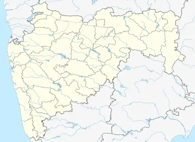 Khanapur (Vita) Location in Maharashtra, India | |
| Coordinates: 17°15′40″N 74°42′6″E / 17.26111°N 74.70167°E | |
| Country | |
| State | Maharashtra |
| District | Sangli district |
| Talukas | Khanapur (Vita) |
| Government | |
| • Body | Nagar panchayat |
| Languages | |
| • Official | Marathi |
| Time zone | UTC+5:30 (IST) |
| ISO 3166 code | IN-MH |
| Nearest city | Vita |
| Lok Sabha constituency | Sangli |
| Vidhan Sabha constituency | Khanapur-Atpadi |
| Website | maharashtra |
Khanapur (Vita) is a village and taluka and a subdivision of Sangli district of Maharashtra in India.
Demographics
Khanapur-Vita taluka had a population of 170,214. The sex ratio is 1011 females per 1000 males and the literacy rate is 82.23%. 17,943 were under 6 years of age. Scheduled Castes and Scheduled Tribes make up 13.41% and 0.54% of the population respectively. 28.37% of the population lives in urban areas.[2]
At the time of the 2011 census, 92.10% of the population spoke Marathi, 3.69% Hindi and 1.76% Urdu as their first language.[3]
References
- ↑ "Population by Religion - Maharashtra". censusindia.gov.in. Registrar General and Census Commissioner of India. 2011.
- ↑ "District Census Hand Book – Sangli" (PDF). Census of India. Registrar General and Census Commissioner of India.
- 1 2 "Table C-16 Population by Mother Tongue: Maharashtra". censusindia.gov.in. Registrar General and Census Commissioner of India.
| History | .svg.png.webp) | |
|---|---|---|
| Geography | ||
| Cities and towns | ||
| Transport | ||
| Lok Sabha constituencies | ||
| Vidhan Sabha constituencies | ||
| Tehsil | ||
| Tourist attractions | ||
| Education | ||
This article is issued from Wikipedia. The text is licensed under Creative Commons - Attribution - Sharealike. Additional terms may apply for the media files.