| Khogno Khan National Park (Also: Khugnu-Tarna) | |
|---|---|
| Mongolian: Хөгнө Хан | |
.jpg.webp) Rashaant, Mongolia | |
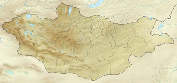  Location of Park | |
| Location | Mongolia |
| Coordinates | 47°28′N 103°38′E / 47.47°N 103.64°E |
| Area | 841 square kilometres (325 sq mi) |
| Established | 2003 |
| Governing body | Ministry of Environment and Green Development of Mongolia |
Khogno Khan National Park (Mongolian: Хөгнө Хан) is centered on Khogno Khan Mountain, about 60 km east of Kharakoram. The park features many historical sites, including the ruins of a 17th-century monastery.[1][2] It is located in Gurvanbulag District of Bulgan Province, about 240 km west of Ulaanbaatar.
See also
References
- ↑ "Khugnu Tarna". Protected Planet. Retrieved April 27, 2020.
- ↑ "Khogno Khan National Park" (in Mongolian). Official park website. Retrieved April 18, 2020.
External links
This article is issued from Wikipedia. The text is licensed under Creative Commons - Attribution - Sharealike. Additional terms may apply for the media files.