Killarney Municipal Airport | |||||||||||
|---|---|---|---|---|---|---|---|---|---|---|---|
| Summary | |||||||||||
| Airport type | Private | ||||||||||
| Operator | Killarney Flying Club | ||||||||||
| Location | RM of Turtle Mountain, near Killarney. | ||||||||||
| Time zone | CST (UTC−06:00) | ||||||||||
| • Summer (DST) | CDT (UTC−05:00) | ||||||||||
| Elevation AMSL | 1,680 ft / 512 m | ||||||||||
| Coordinates | 49°09′06″N 099°41′25″W / 49.15167°N 99.69028°W | ||||||||||
| Map | |||||||||||
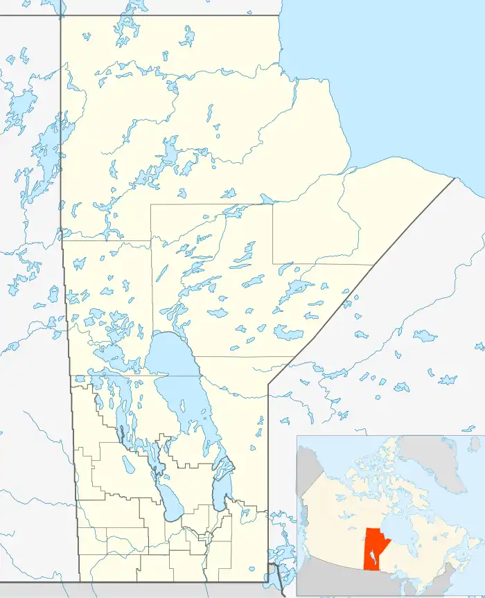 CJS5 Location in Manitoba | |||||||||||
| Runways | |||||||||||
| |||||||||||
Source: Canada Flight Supplement[1] | |||||||||||
Killarney Municipal Airport (TC LID: CJS5) is located 1.6 nautical miles (3.0 km; 1.8 mi) south southwest of Killarney, Manitoba, Canada.
References
| By name | |
|---|---|
| By location indicator | |
| By province/territory | |
| By area | |
| National Airports System | |
| Related | |
| |
This article is issued from Wikipedia. The text is licensed under Creative Commons - Attribution - Sharealike. Additional terms may apply for the media files.