Killdeer | |
|---|---|
 Killdeer  Killdeer | |
| Coordinates: 49°06′27″N 106°21′45″W / 49.10750°N 106.36250°W | |
| Country | Canada |
| Province | Saskatchewan |
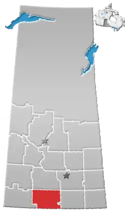
| Census division | 3 |
| Rural Municipality | Old Post No. 43 |
| Time zone | CST |
| Area code | 306 |
| Highways | Hwy 2, Hwy 18 |
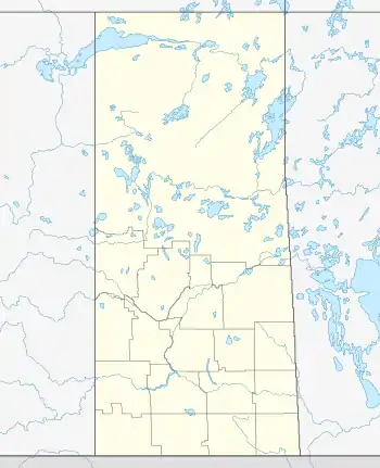
Killdeer is an unincorporated community in Rural Municipality of Old Post No. 43, Saskatchewan, Canada. The locality is located near the intersection of Highway 2 and Highway 18 about 270 km (170 mi) southwest of Regina and 13 km (8 mi) north of the Canada–United States border.[1]
Geography
Killdeer is located on the southern slopes of Wood Mountain Hills and just east of the Rock Creek Badlands. These badlands are also known as Killdeer Badlands.[2]
See also
References
- ↑ "Geographic Place names - Killdeer". Natural Resources Canada. Government of Canada. Retrieved January 30, 2018.
- ↑ "Rock Creek Badlands - Badlands Parkway". Tourism Saskatchewan. Government of Saskatchewan. Retrieved November 10, 2022.
Places adjacent to Killdeer, Saskatchewan | |
|---|---|
This article is issued from Wikipedia. The text is licensed under Creative Commons - Attribution - Sharealike. Additional terms may apply for the media files.