| Kilmadock | |
|---|---|
.jpg.webp) Doune Castle a key historic site of Kilmadock | |
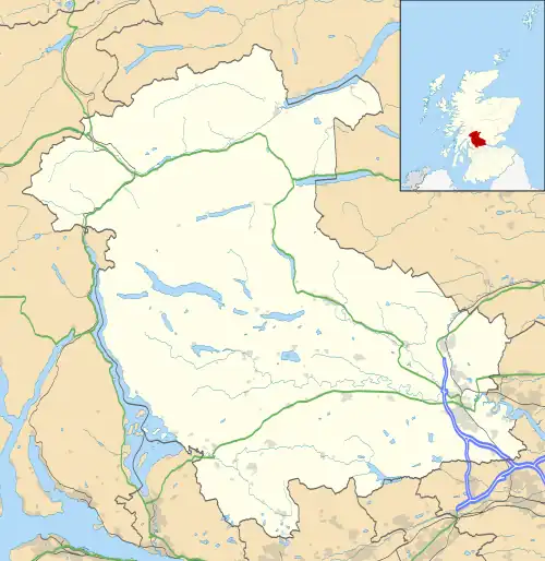 Kilmadock Location within the Stirling council area | |
| Population | 2,375 (Census 2011) |
| OS grid reference | NN706025 |
| Community council |
|
| Council area | |
| Lieutenancy area |
|
| Country | Scotland |
| Sovereign state | United Kingdom |
| Post town | Doune |
| Postcode district | FK16 |
| Police | Scotland |
| Fire | Scottish |
| Ambulance | Scottish |
| UK Parliament | |
| Scottish Parliament | |
Kilmadock parish (Scottish Gaelic Cille Mo Dog), named for Saint Cadoc, containing the settlements of Doune, Deanston, Buchany, Argaty, Hill of Row, Drumvaich, and Delvorich, is situated in Stirling council area, Scotland, and is on the southern border of the former county of Perthshire. Its length is 10 miles (16 kilometres), its breadth from 2–8 mi (3–13 km), and with an area of 24,521 acres (9,923 hectares).
The River Forth runs along its southern boundary, and the River Teith runs east-south-eastward through the centre. A flat tract of considerable breadth lies along the Forth Valley, flanked on each side by a hill-ridge. The valley is traversed by the Teith, and an upland tract, part of the Braes of Doune, ascends to the summit of Uamh Mhòr on the northern boundary.[1]
Gallery
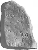 Inscription stone found at Old Kilmadock cemetery
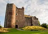
 River Teith near Doune
 17th century Mercat Cross in Doune
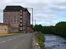 Former mill buildings by the River Teith, now Deanston Distillery
.jpg.webp)
 View of Doune from the Commonty Walk
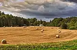 Farmland in Kilmadock areas
 Braes of Doune wind farm
 Uamh Bheag, the highest point in Kilmadock
References
- ↑ "Uamh Mhor (or Uamvar)As described in John Bartholomew's Gazetteer of the British Isles". John Bartholomew, Gazetteer of the British Isles (1887. Retrieved 4 March 2013.