King, Wisconsin | |
|---|---|
Census-designated place | |
 | |
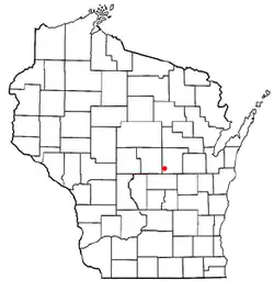 Location of King, Wisconsin | |
| Coordinates: 44°20′15″N 89°08′30″W / 44.33750°N 89.14167°W | |
| Country | United States |
| State | Wisconsin |
| County | Waupaca |
| Area | |
| • Total | 2.326 sq mi (6.02 km2) |
| • Land | 2.158 sq mi (5.59 km2) |
| • Water | 0.168 sq mi (0.44 km2) |
| Population (2010) | |
| • Total | 1,750 |
| • Density | 750/sq mi (290/km2) |
| Time zone | UTC-6 (Central (CST)) |
| • Summer (DST) | UTC-5 (CDT) |
| FIPS code | 55-13885[1] |
| GNIS feature ID | 1567492 |
King is a census-designated place in Town of Farmington, Waupaca County, Wisconsin.[2] As of the 2010 census, it had a population of 1,750.[3] Before 2010, it was part of the Chain O' Lakes-King, Wisconsin CDP.[4]
History
In 1887, the area was selected by the Grand Army of the Republic for the site of a veterans' home. The Soldiers' Home was later renamed the Wisconsin Veterans Home.[5] The community is named for General Charles King, a Wisconsin soldier and head of the state's National Guard.[6]
Images
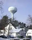 King water tower overlooking the Veterans Cottages Historic District
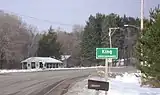
- Highway sign for King along Wisconsin Highway 22
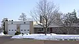 King Fire Department
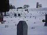 Wisconsin Veterans Memorial Cemetery
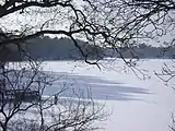 Rainbow Lake as seen from the Wisconsin Veterans Home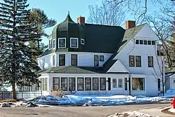
References
- ↑ "U.S. Census website". United States Census Bureau. Retrieved January 31, 2008.
- ↑ "King, Waupaca Co". www.wisconsinhistory.org. Archived from the original on June 11, 2011.
- ↑ "U.S. Census website". U.S. Census Bureau. Retrieved March 26, 2011.
- ↑ Bureau, US Census. "Site Maintenance" (PDF). censtats.census.gov. Archived from the original (PDF) on May 6, 2012. Retrieved April 11, 2016.
- ↑ Kim J. Heltemes. Wisconsin Veterans Home at King. Charleston, SC: Arcadia, 2004. ISBN 0-7385-3285-1
- ↑ "General Charles King Marker". www.hmdb.org. Retrieved April 11, 2016.
External links

Wikimedia Commons has media related to King, Waupaca County, Wisconsin.
Municipalities and communities of Waupaca County, Wisconsin, United States | ||
|---|---|---|
| Cities | 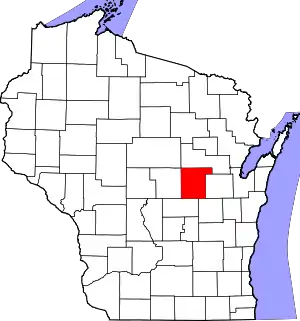 | |
| Villages | ||
| Towns | ||
| CDPs | ||
| Other communities | ||
| Former communities | ||
| Footnotes | ‡This populated place also has portions in an adjacent county or counties | |
This article is issued from Wikipedia. The text is licensed under Creative Commons - Attribution - Sharealike. Additional terms may apply for the media files.