Kirchham | |
|---|---|
 | |
.svg.png.webp) Coat of arms | |
 Kirchham Location within Austria | |
| Coordinates: 47°58′16″N 13°54′00″E / 47.97111°N 13.90000°E | |
| Country | Austria |
| State | Upper Austria |
| District | Gmunden |
| Government | |
| • Mayor | Hans Kronberger (ÖVP) |
| Area | |
| • Total | 28.41 km2 (10.97 sq mi) |
| Elevation | 470 m (1,540 ft) |
| Population (2018-01-01)[2] | |
| • Total | 2,139 |
| • Density | 75/km2 (200/sq mi) |
| Time zone | UTC+1 (CET) |
| • Summer (DST) | UTC+2 (CEST) |
| Postal code | 4656 |
| Area code | 07619 |
| Vehicle registration | GM |
| Website | www.kirchham.ooe.gv.at |
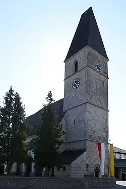
Kirchham is a municipality in the district of Gmunden in the Austrian state of Upper Austria.
Geography
Kirchham lies in the Traunviertel at the foot of the last foothills of the pre-Alps at the entrance to the Salzkammergut. About 40 percent of the municipality is forest, and 53 percent is farmland.
References
- ↑ "Dauersiedlungsraum der Gemeinden Politischen Bezirke und Bundesländer - Gebietsstand 1.1.2018". Statistics Austria. Retrieved 10 March 2019.
- ↑ "Einwohnerzahl 1.1.2018 nach Gemeinden mit Status, Gebietsstand 1.1.2018". Statistics Austria. Retrieved 9 March 2019.
Wikimedia Commons has media related to Kirchham, Upper Austria.
This article is issued from Wikipedia. The text is licensed under Creative Commons - Attribution - Sharealike. Additional terms may apply for the media files.