Kiri Sakor
ស្រុកគីរីសាគរ | |
|---|---|
 Location in Cambodia | |
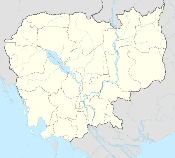 Kiri Sakor Location in Cambodia | |
| Coordinates: 11°0′N 103°10′E / 11.000°N 103.167°E | |
| Country | |
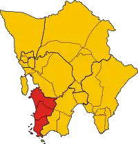
| Province | Koh Kong |
| Communes | 3 |
| Villages | 9 |
| Population (1998)[1] | |
| • Total | 6,289 |
| Time zone | +7 |
| Geocode | 0902 |
Kiri Sakor District (Khmer: ស្រុកគីរីសាគរ) is a district (srok) of Koh Kong Province, in south-western Cambodia. All of Kiri Sakor is part of Botum Sakor National Park since 1993.
Administration
The district is subdivided into three khum (communes) and nine phum (villages).
| Kiri Sakor District | |
|---|---|
| Khum (Commune) | Phum (Villages) |
| Kaoh Sdach | Kaoh Sdach, Peam Kay, Preaek Smach |
| Phnhi Meas | Phnhi Meas, Kien Kralanh, Ta Ni |
| Preaek Khsach | Preaek Khsach, Ta Kaev, Yeay Saen |
See also
Notes
- ↑ General Population Census of Cambodia, 1998: Village Gazetteer. National Institute of Statistics. February 2000.
Capital: Khemarak Phoumin | ||
| Districts | 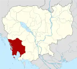 | |
| Places | ||
| Autonomous municipality |
| ||
|---|---|---|---|
| Provinces | |||
11°0′N 103°10′E / 11.000°N 103.167°E
This article is issued from Wikipedia. The text is licensed under Creative Commons - Attribution - Sharealike. Additional terms may apply for the media files.