Kirkandrews | |
|---|---|
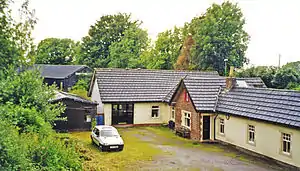 The former station in 2002 | |
| General information | |
| Location | Kirkandrews-on-Eden, Cumberland England |
| Coordinates | 54°55′00″N 3°00′44″W / 54.9166°N 3.0121°W |
| Grid reference | NY352584 |
| Platforms | 1[1][2] |
| Other information | |
| Status | Disused |
| History | |
| Original company | Port Carlisle Railway |
| Pre-grouping | North British Railway |
| Post-grouping | London and North Eastern Railway |
| Key dates | |
| 1854 | Opened |
| 7 September 1964 | Closed |
| Location | |
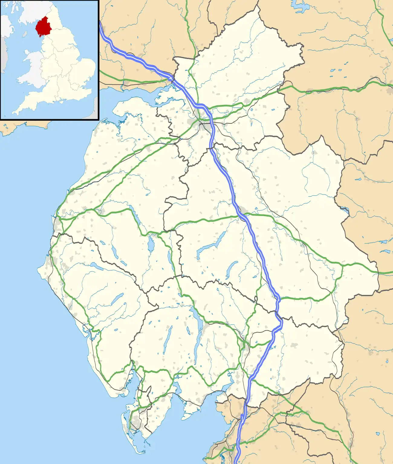 Kirkandrews Location in present-day Cumbria, England 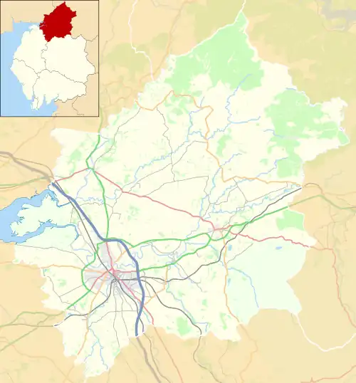 Kirkandrews Location in the former City of Carlisle district, Cumbria | |
Carlisle and Silloth Bay Railway | ||||||||||||||
|---|---|---|---|---|---|---|---|---|---|---|---|---|---|---|
| ||||||||||||||
Kirkandrews railway station was near Kirkandrews-on-Eden, Cumberland (now Cumbria), England. It was on the Port Carlisle Railway branch, and later part of the Silloth branch.[3] The station served the village and the rural district. Kirkandrews closed on 7 September 1964;[4] with the line to Silloth as part of the Beeching cuts.The station building survives as a private dwelling.
History
In 1819, a port was constructed at Port Carlisle and in 1821, the Carlisle Navigation Canal[5] was built to take goods to Carlisle.[5] The canal was closed in 1853, when the Port Carlisle Railway Company filled in part of it to construct a railway that began passenger service in 1854. However, the railway discontinued passenger service two years later, when the Carlisle & Silloth Bay Railway & Dock Company opened a new line to Silloth, using the Port Carlisle Branch as far as Drumburgh.[6]
The North British Railway leased the line from 1862, it was absorbed by them in 1880, and then taken over by the London and North Eastern Railway in 1923.[6]
Infrastructure
The station sat close to the village in the cut of the old canal; it had a single platform, and a shelter. The branch ran close to the course of Hadrian's Wall. A substantial station building was present. A large seed warehouse was located at the station. In common with other stations on the line, it had its name picked out in sea shells on a raised area opposite the station building.[7]
References
Notes
- ↑ Hammond 2015, p. 417.
- ↑ Biddle 1981, p. 66.
- ↑ Solway Plain - Past and Present Archived 18 May 2016 at the Wayback Machine Retrieved : 2012-08-21
- ↑ Cumbria Railways Retrieved : 2012-08-21
- 1 2 Ramshaw 1997, p. 1.
- 1 2 Cumbria Railway Retrieved : 2012-08-21
- ↑ White 1984.
Sources
- Biddle, Gordon (1981). Railway Stations in the North West. Clapham, North Yorkshire: Dalesman Books. ISBN 978-0-85206-644-7.
- Hammond, John M. (August 2015). Peascod, Michael (ed.). "The Beeching Plan and the Closure of the Carlisle-Silloth Branch". Cumbrian Railways. Pinner: Cumbrian Railways Association. 11 (11). ISSN 1466-6812.
- Ramshaw, David (1997). The Carlisle Navigation Canal, 1821-53. Carlisle: P3 Publications. ISBN 978-0-9522098-5-0.
- White, Stephen (1984). Solway Steam. The Story of the Silloth and Port Carlisle Railways 1854-1964. Carlisle: Carel Press. ISBN 978-0-9509096-1-5.
External links
- Kirkandrews station Cumbria Gazetteer
- Kirkandrews station Deborah Irwin
- Kirkandrews station Cumbria Railways
- The station on an Edwardian 6" OS map National Library of Scotland
- The station and line Rail Maps Online
- The station and line, with mileages Railway Codes
- Cumbria Gazetteer
| Preceding station | Disused railways | Following station | ||
|---|---|---|---|---|
| Carlisle Station open, line closed |
North British Railway Carlisle and Silloth Bay Railway |
Burgh-by-Sands Line and station closed |