Kołbiel | |
|---|---|
Village | |
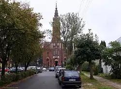 Holy Trinity Church | |
 Coat of arms | |
 Kołbiel | |
| Coordinates: 52°4′N 21°29′E / 52.067°N 21.483°E | |
| Country | |
| Voivodeship | Masovian |
| County | Otwock |
| Gmina | Kołbiel |
| Elevation | 126 m (413 ft) |
| Population | 1,880 (2,011) |
| Website | http://www.kolbiel.pl |
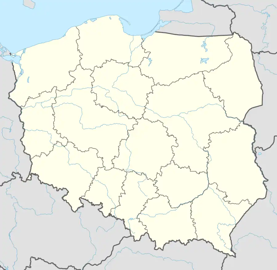
Kołbiel [ˈkɔu̯bjɛl] is a village in Otwock County, Masovian Voivodeship, in east-central Poland. It is the seat of the gmina (administrative district) called Gmina Kołbiel.[1] It lies approximately 16 kilometres (10 mi) east of Otwock and 37 km (23 mi) south-east of Warsaw.
Transport
The village lies at the intersection of expressway S17 and national road 50 (future A50 motorway).
References
External links
- Jewish Community in Kołbiel on Virtual Shtetl
| Seat | | |
|---|---|---|
| Other villages | ||
This article is issued from Wikipedia. The text is licensed under Creative Commons - Attribution - Sharealike. Additional terms may apply for the media files.