Kondlahalli | |
|---|---|
village | |
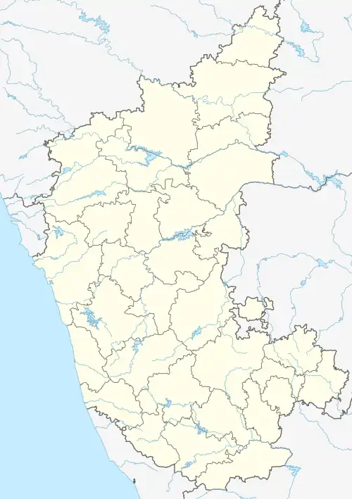 Kondlahalli Location in Karnataka, India  Kondlahalli Kondlahalli (India) | |
| Coordinates: 14°43′N 76°46′E / 14.72°N 76.76°E | |
| Country | |
| State | Karnataka |
| District | Chitradurga |
| Founded by | kondalamma devi |
| Named for | kondala |
| Talukas | Molakalmuru |
| Government | |
| • Type | village panchayat |
| • Body | village gram panchayat |
| Population (2014) | |
| • Total | 10,125 |
| Languages | |
| • Official | Kannada |
| Time zone | UTC+5:30 (IST) |
| PIN | 577529 |
| Telephone code | 08198 |
| Climate | Normal 32°C to 40°C (Köppen) |
Kondlahalli is a village in the southern state of Karnataka, India.[1][2] It is located in the Molakalmuru taluk of Chitradurga district in Karnataka.
Demographics
As of 2014 India census, Kondlahalli had a population of 10125 with 5100 males and 5025 females.[1]
See also
References
- 1 2 Village code= 948800 Registrar General & Census Commissioner, India. "Census of India : Villages with population 5000 & above". Archived from the original on 8 December 2008. Retrieved 18 December 2008.
- ↑ "Yahoomaps India :". Archived from the original on 18 December 2008. Retrieved 18 December 2008.
External links
District HQ: Chitradurga | |
| Villages and Towns |
|
This article is issued from Wikipedia. The text is licensed under Creative Commons - Attribution - Sharealike. Additional terms may apply for the media files.