Kosad | |
|---|---|
town | |
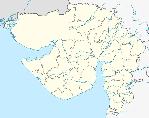 Kosad Location in Gujarat, India  Kosad Kosad (India) | |
| Coordinates: 21°17′04″N 72°52′35″E / 21.284416°N 72.876263°E | |
| Country | |
| State | Gujarat |
| District | Surat |
| Area | |
| • Total | 5 km2 (2 sq mi) |
| Elevation | 13 m (43 ft) |
| Population (2001) | |
| • Total | 25,778 |
| • Density | 16,000/km2 (40,000/sq mi) |
| Languages | |
| • Official | Gujarati, Hindi |
| Time zone | UTC+5:30 (IST) |
| Telephone code | 0261 |
| Vehicle registration | GJ-5 |
| Nearest city | Amroli |
| Sex ratio | 864/1000 males ♂/♀ |
| Website | gujaratindia |
Kosad is a town and municipality in Surat city in the Indian state of Gujarat.
Geography
The city is located at an average elevation of 12 metres (39 ft).[1]
Demographics
As of the 2001 Indian census,[2] Kosad had a population of 26,578. Males constitute 52% of the population and females 48%. Kosad has an average literacy rate of 74%, higher than the national average of 59.5%: male literacy is 81%, and female literacy is 63%. In Kosad, 14% of the population is under 6 years of age.
The said Town was included In limits of Surat Municipal Corporation w.e.f 14.02.2006.
Transport
By road: Kosad is 9 kilometres (5.6 mi) from Udhana and 8 kilometres (5.0 mi) from Surat.
By air: Nearest airport is Surat which is 21 kilometres (13 mi) from Kosad.
References
- ↑ "Falling Rain Genomics, Inc - Kosad".
- ↑ "Census of India 2001: Data from the 2001 Census, including cities, villages and towns (Provisional)". Census Commission of India. Archived from the original on 16 June 2004. Retrieved 1 November 2008.
See also
This article is issued from Wikipedia. The text is licensed under Creative Commons - Attribution - Sharealike. Additional terms may apply for the media files.