Kottappuram
Kottapuram | |
|---|---|
Neighbourhood & Urban Village | |
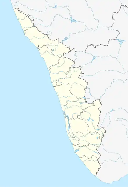 Kottappuram Location in Kerala, India  Kottappuram Kottappuram (India) | |
| Coordinates: 8°48′22″N 76°40′12″E / 8.806022°N 76.670004°E | |
| Country | |
| State | Kerala |
| District | Kollam |
| Municipality | Paravur |
| Population (2011) | |
| • Total | 5,817 |
| Languages | |
| • Official | Malayalam, English |
| Time zone | UTC+5:30 (IST) |
| PIN | 691301 |
| Telephone code | 0474 |
| Vehicle registration | KL-02 |
| Nearest city | Kollam (21 km) |
| Climate | Tropical monsoon (Köppen) |
| Avg. summer temperature | 35 °C (95 °F) |
| Avg. winter temperature | 20 °C (68 °F) |
Kottappuram or Kottapuram is an urban village, situated at Paravur municipality in Kollam district, Kerala.[1] It is one among the two villages in Paravur municipality and one among the 30 villages coming under Kollam Taluk.[2][3]
Kottapuram is situated in between Paravur town and Paravur Thekkumbhagam. It is on the way towards Varkala.
Location
- Paravur railway station - 400 m
- Paravur Thekkumbhagam - 1 km
- Pozhikara - 2.5 km
- Nedungolam - 3.5 km
- Kollam - 22.6 km
References
- ↑ "Taluks and Villages — Kollam District". Archived from the original on 10 February 2007. Retrieved 20 February 2015.
- ↑ "Village Finder — Kollam District". Retrieved 20 February 2015.
- ↑ "Details of crushers and its owners — Kollam District" (PDF). Retrieved 20 February 2015.
| City Corporations |  | |
|---|---|---|
| Municipalities | ||
| Revenue Divisional Office | ||
| Talukas and villages | ||
This article is issued from Wikipedia. The text is licensed under Creative Commons - Attribution - Sharealike. Additional terms may apply for the media files.