| Krawarree New South Wales | |||||||||||||||
|---|---|---|---|---|---|---|---|---|---|---|---|---|---|---|---|
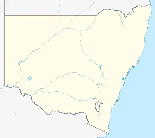 Krawarree Location in New South Wales | |||||||||||||||
| Coordinates | 35°49′57″S 149°38′02″E / 35.83250°S 149.63389°E | ||||||||||||||
| Population | 82 (SAL 2021)[1] | ||||||||||||||
| Postcode(s) | 2622 | ||||||||||||||
| Location | |||||||||||||||
| LGA(s) | Queanbeyan-Palerang Regional Council | ||||||||||||||
| Region | Southern Tablelands | ||||||||||||||
| County | Murray County | ||||||||||||||
| Parish | Krawarree | ||||||||||||||
| State electorate(s) | Monaro | ||||||||||||||
| Federal division(s) | Eden-Monaro | ||||||||||||||
| |||||||||||||||
Krawarree is a rural locality in Queanbeyan–Palerang Regional Council.[2][3]
Krawarree is on the Shoalhaven River, and the nearest town is Braidwood, which is about 40 km to the north.
References
- ↑ Australian Bureau of Statistics (28 June 2022). "Krawarree (suburb and locality)". Australian Census 2021 QuickStats. Retrieved 28 June 2022.
- ↑ "Krawarree Locality". Geographical Names Register (GNR) of NSW. Geographical Names Board of New South Wales. Retrieved 16 April 2018.
- ↑ "Krawarree". OpenStreetMap. Retrieved 18 January 2018.
This article is issued from Wikipedia. The text is licensed under Creative Commons - Attribution - Sharealike. Additional terms may apply for the media files.